Charco El Pilón: River Hiking and Waterfall Swimming

The remarkable hike to and from Charco El Pilón in Puerto Rico’s Maricao State Forest is a challenging rocky, muddy 2 ½-mile scramble along — and often through — the “El Chorote” branch that arrives at the El Pilón stream. The forest is lush and shady, and the terrain is hilly and challenging. The payoff is a spectacular waterfall and swimming hole.

You’ll find the trailhead at the end of Route 362, high in the mountains in San Germán, Cabo Rojo, on the southwestern corner of the island. You can park in front of road barriers or alongside the road. The well-maintained trail immediately, just to the left of a little house, takes you down and then up a steep hill, and it’s game on!

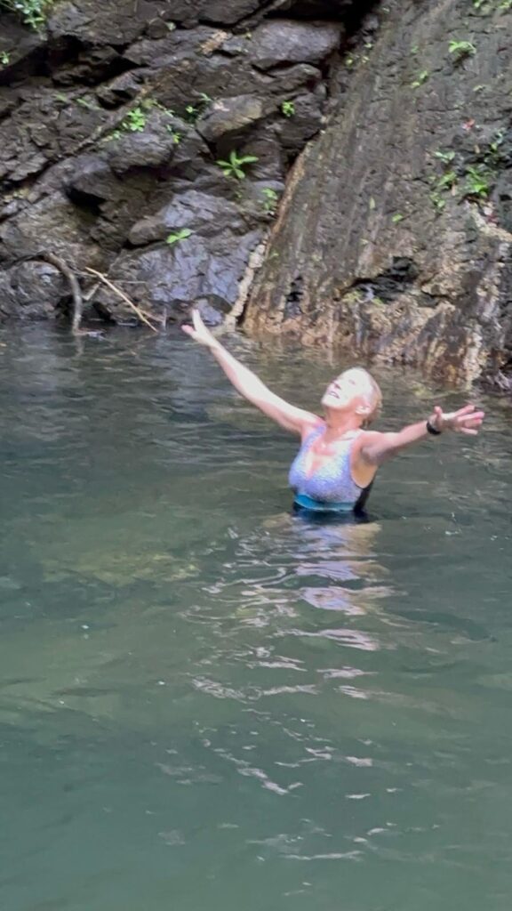
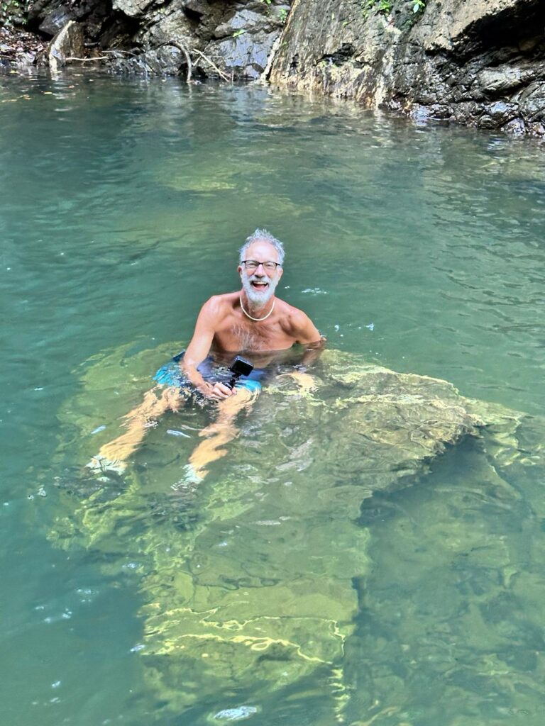
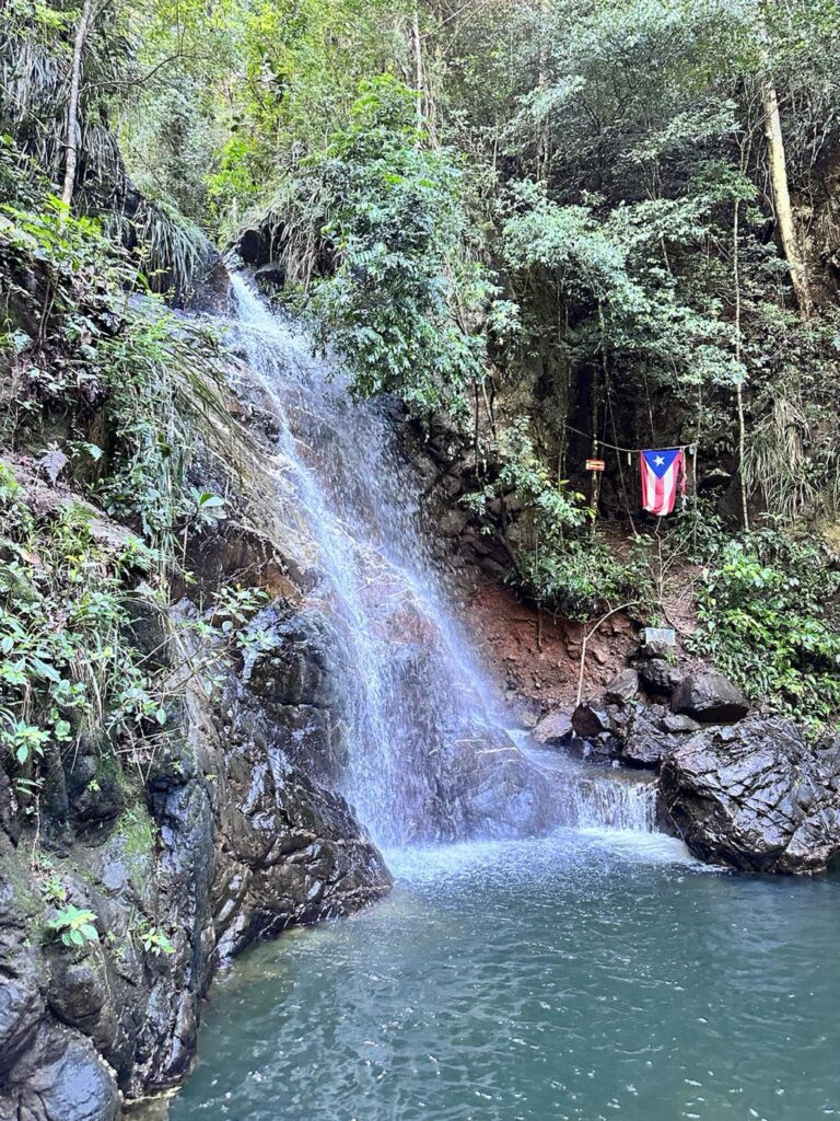
Charco El Pilón is a 30-foot-high waterfall with a deep, clear pool beneath, perfect for swimming in (we kept our shoes on).
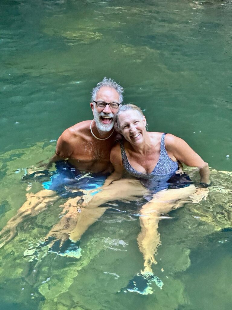
Here are a few tips to enhance your experience:

·        Start early to avoid the crowds and get a good parking spot. We encountered a guided group of at least 50 people on our way back.
·        Bring lots of water.
·        Wear a swimsuit!
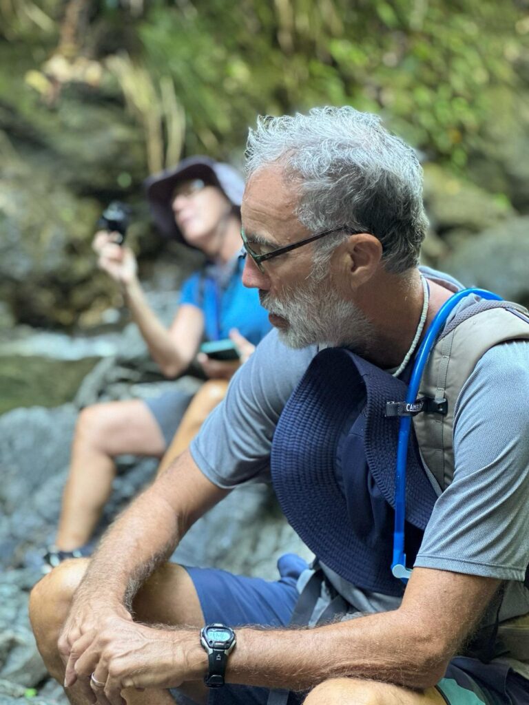
·     Wear shoes with a good grip that you can get wet! I wore Hoka trail running shoes that drained easily and could be washed afterward. Bob wore hiking boots, which were more of a challenge to get clean.

We went with our friends Juan and Rose Marie, who provided some of the photos below, including the title image!

Enjoy Photos
Info

Puerto Rico Day Trips
All Trails Description
All Trails – our hike
Map (Trailhead)

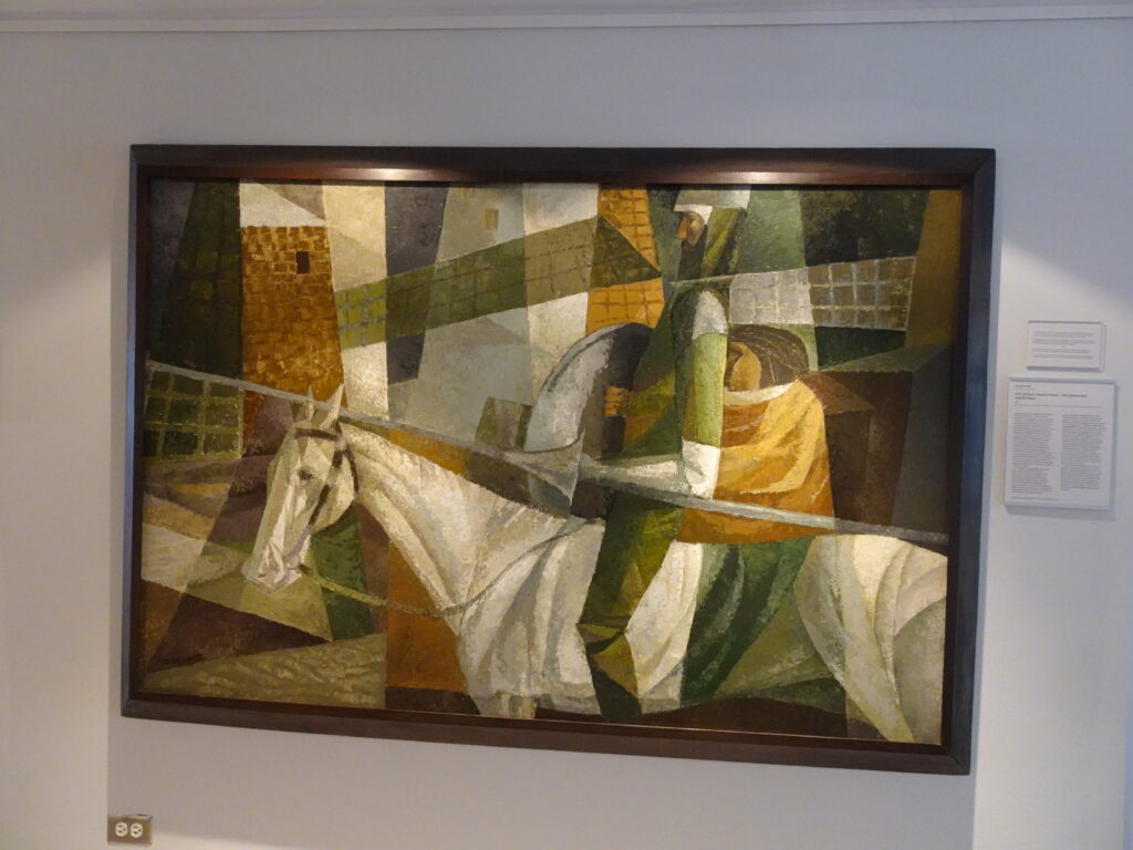
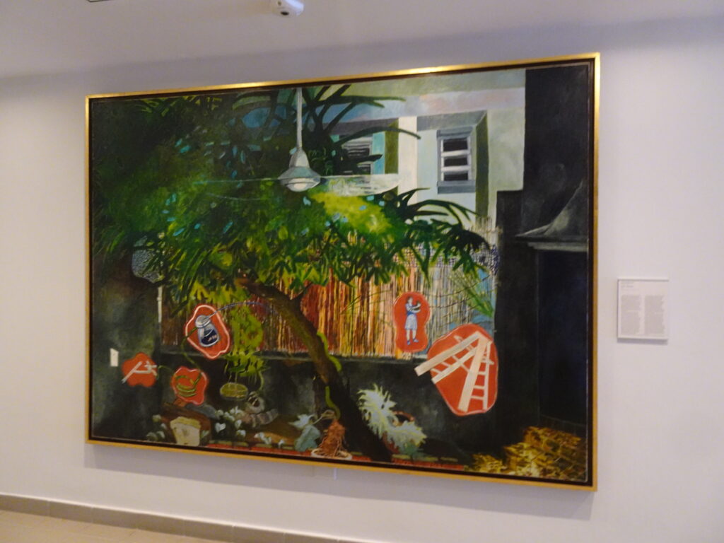
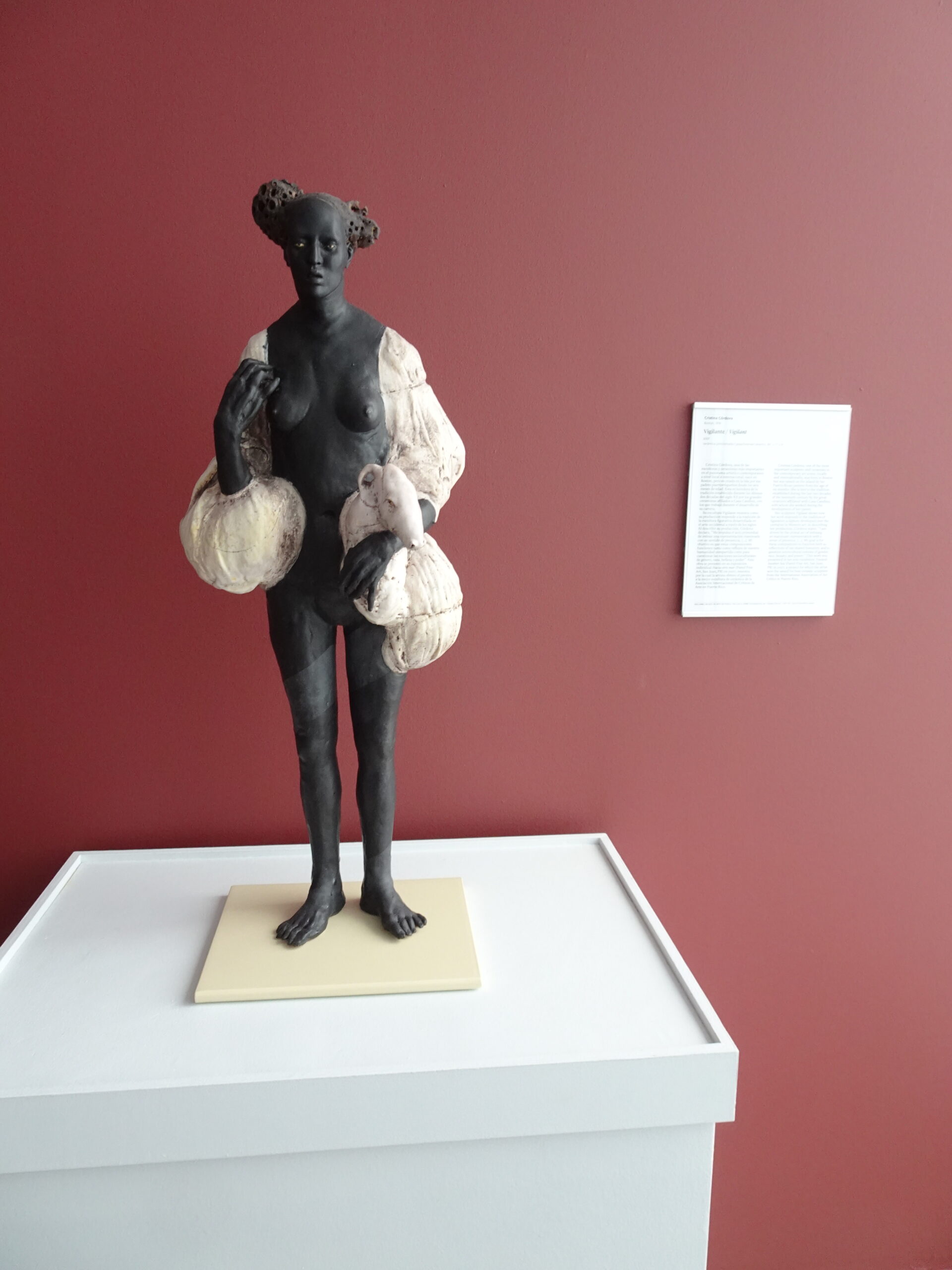
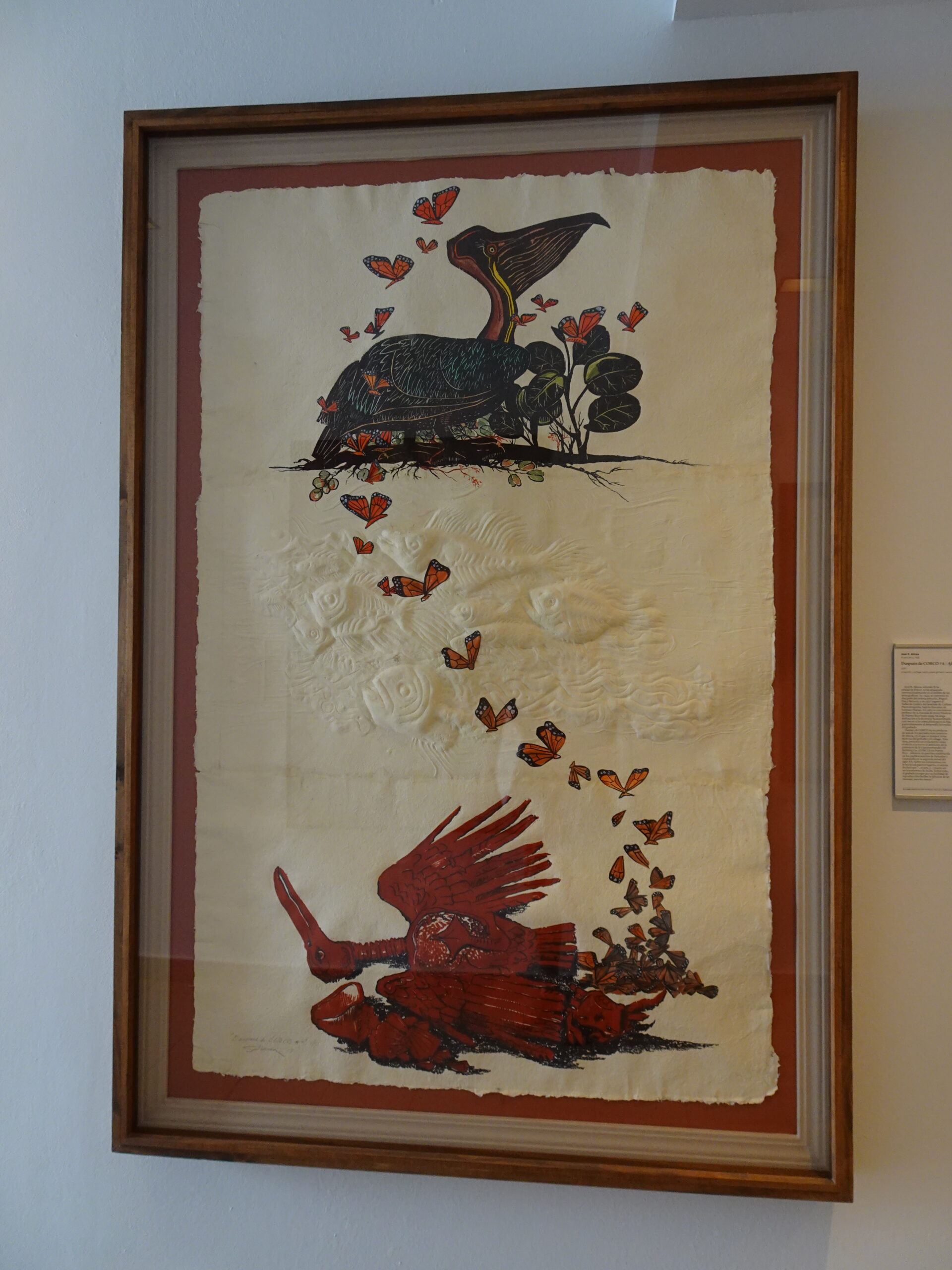
Ponce Art Museum: After the Earthquake
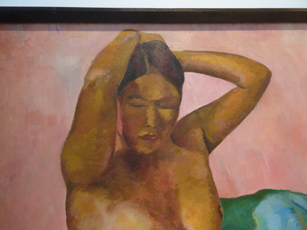
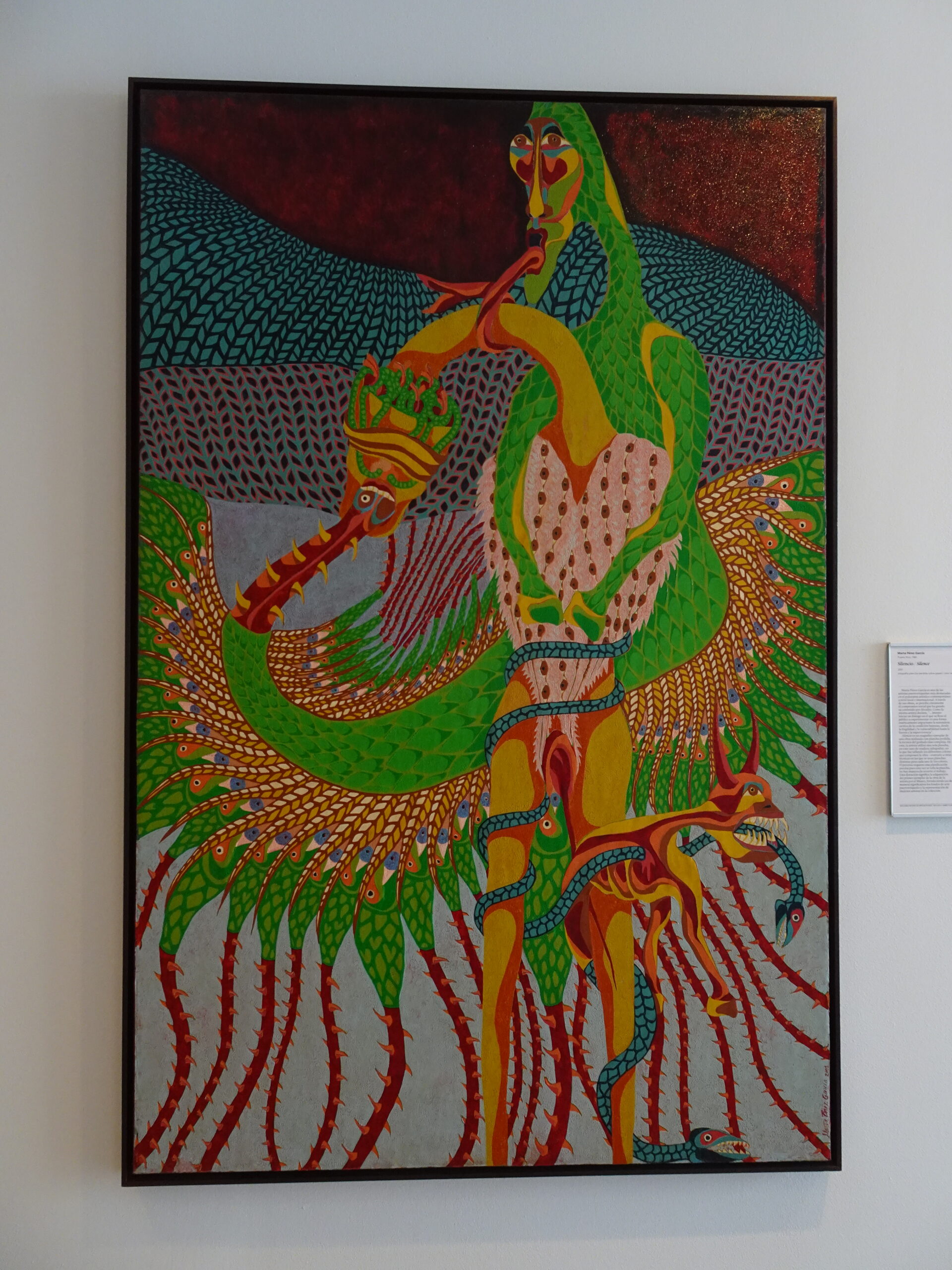
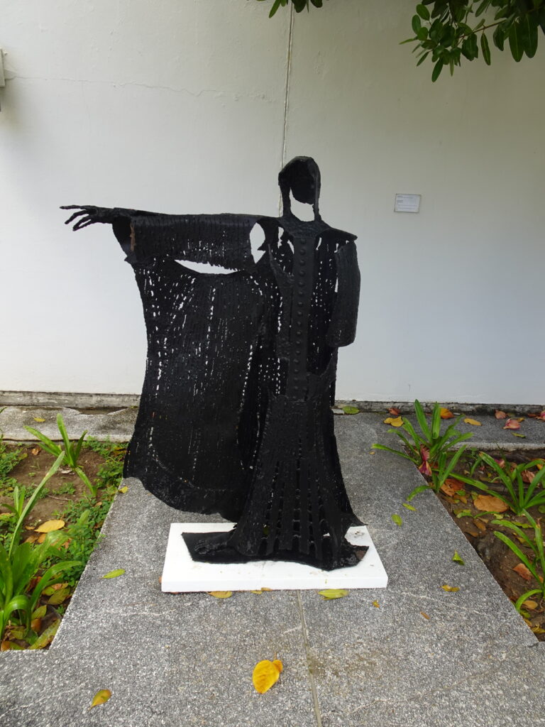
Many have told us about the outstanding quality of the Ponce Art Museum (Museo de Arte), but two large earthquakes in January 2020 changed all that, when the main building was badly damaged and closed. They finally reopened a section of the museum this year, and we decided to check it out!
After the earthquakes, the Museum displayed items at its gallery in San Juan, and took to the streets with workshops to shelters and schools. When COVID hit, it expanded its digital platform. Now it’s gradually opening again while raising funds to repair the earthquake damage.

The museum still has very limited offerings, though we really enjoyed what we saw. It costs just $6 to get in, half price for seniors. Free guided tours are conducted at 10 AM (Spanish) and 1 PM (English).

Photos

(Note: Ponce is pronounced POHN-say.)

INFO

Museum website
Santurce Gallery
Status of reconstruction

MAP

La Playita: A Local Beach, a Hidden Gem

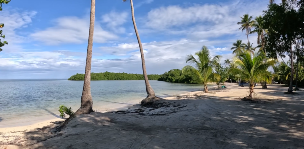
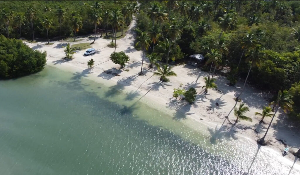
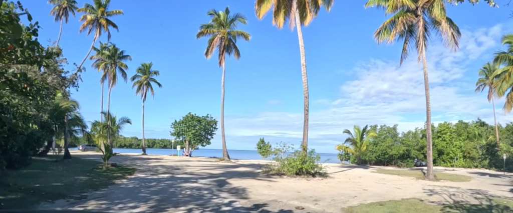
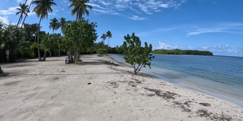
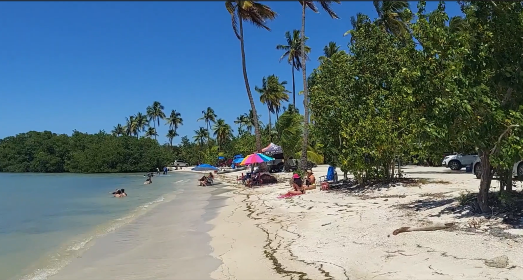
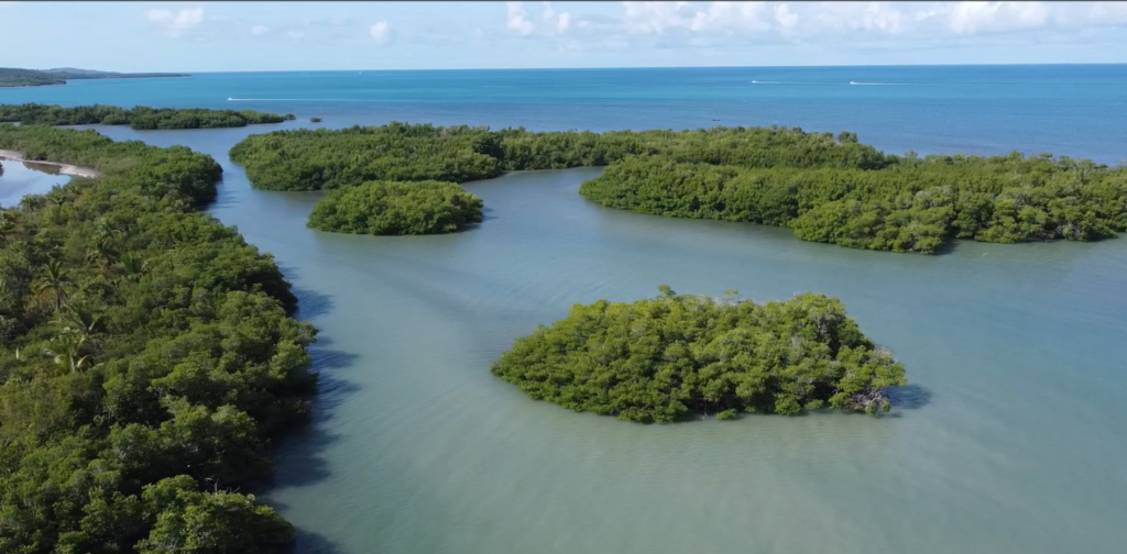
Looking for serenity? Or a party? Depending on the day, you can find either at La Playita, one of our favorite local beaches. La Playita, found at the end of a dirt road tucked among the mangroves near Puerto Real, is just a mile or two from our home in Cabo Rojo.

The beach can be completely deserted, offering a serenity that’s hard to find anywhere else. But a holiday weekend can bring entire families partying for the day, and even overnight campers, though there are no facilities.

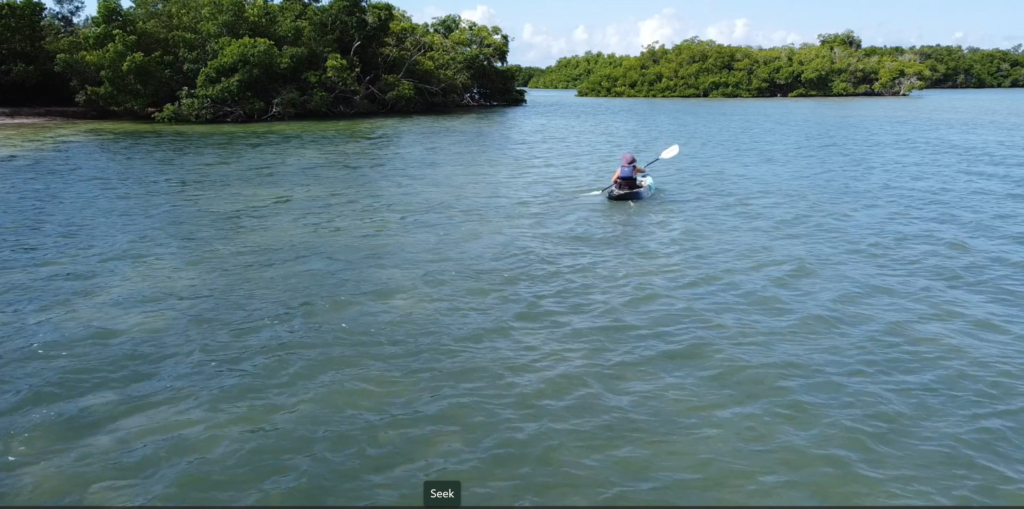
This picturesque stretch of white sand offers shallow waters, palm trees, and mangroves. You’ll see fish and even rays jumping out of the water, pelicans flying by, and sand crabs scurrying around. Unfortunately, you will also encounter some trash, and maybe meet a stray dog or two. People park their cars right on the beach, so it’s not a bad place for people with accessibility issues. The water is calm, warm, and fairly shallow – perfect for swimming, splashing, lounging in the water sipping a drink, fishing, or kayaking.

Photos

So grab your beach chairs, pack a cooler with drinks and some frozen Gasolinas (party in a pouch!), stop into Mercado’s Bakery to get sandwiches and chips and use the bathroom– remember, no facilities – and settle on in under a sea grape tree with a good book. Enjoy!

Info

Map

Mercado’sBakery

Messy Suitcase Mini-Tour: Playa Corcega in Rincon

We spent a sweet morning at a beach in south Rincon that is popular with local swimmers and snorkelers. It’s a quiet beach with soft golden sand, but not a lot of shade. A reef can be found about 50 meters from the coastline. Unfortunately, the water kicked up a bit and kept us out of the water. Next time!

There are no amenities and no services, but the village of Rincon is a couple of miles away. Bring a cooler and your lunch.

Info
Map

Sweet Orange Festival in Las Marias

The mountain village of Las Marias, Puerto Rico, throws a huge block party every March, the Festival de las Chinas Dulces, to celebrate the abundant variety of sweet oranges that grow on the island.

They call oranges “chinas” (pronounced CHEE-nahs) in Puerto Rico, though the Spanish word for “orange” is “naranja” (pronounced nah-RAHN-hah).

We spent a sweet afternoon drinking china coladas and orange juice, eating china bread and other Puerto Rican delicacies, sipping Puerto Rican coffee, learning about island agriculture, and perusing the products of myriad artisans. The music was traditional, colorful, and energetic, coming from two main bandstands, and the crowds extended for blocks in several directions. We even took home an orange tree to plant in our Cabo Rojo yard!

Info
Map

Birdwatching at Laguna Cartagena

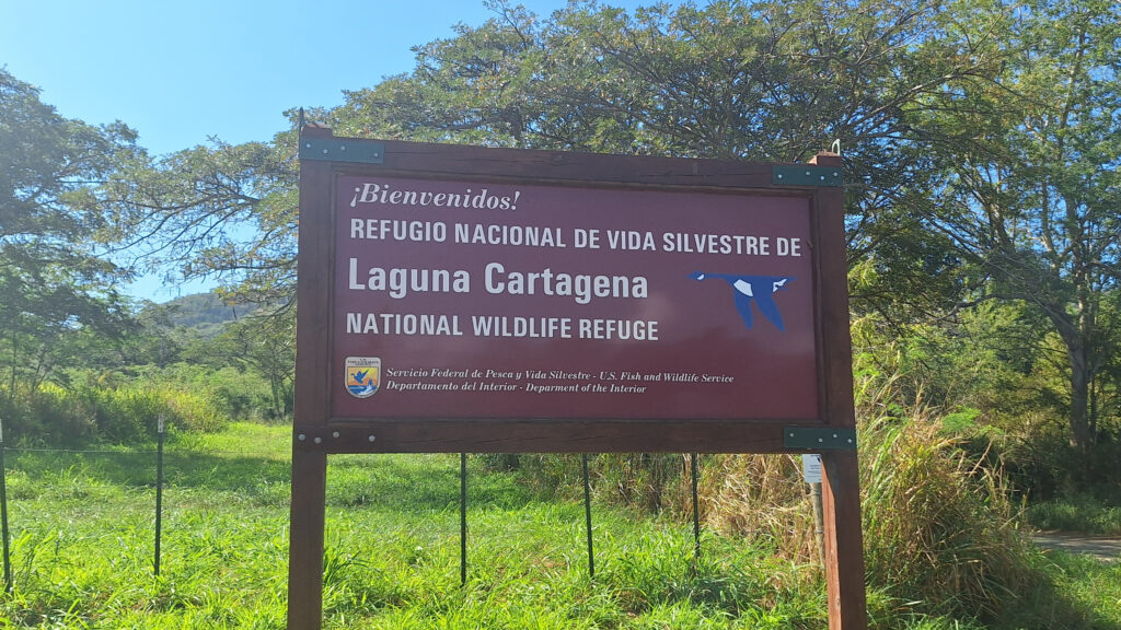
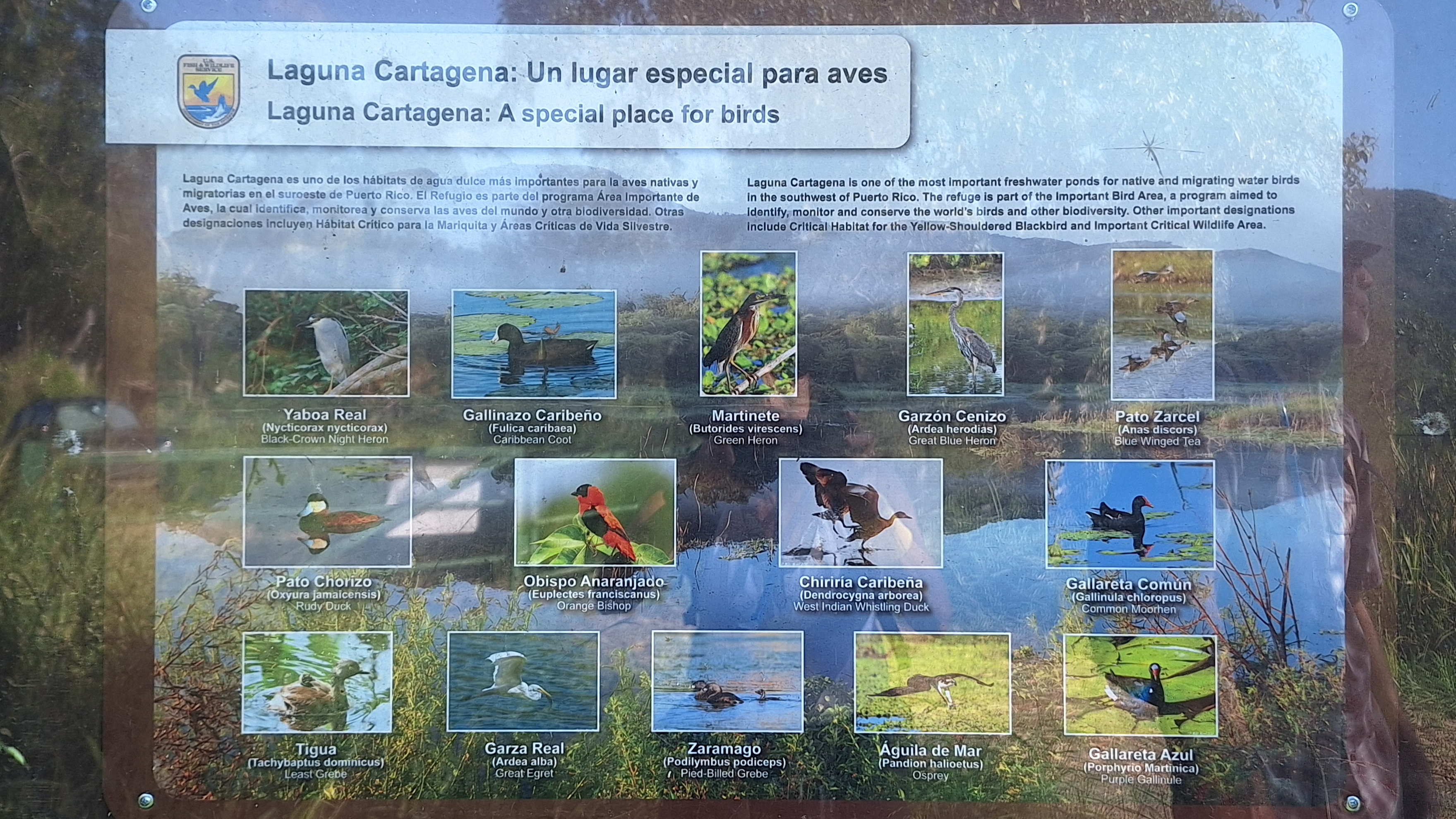
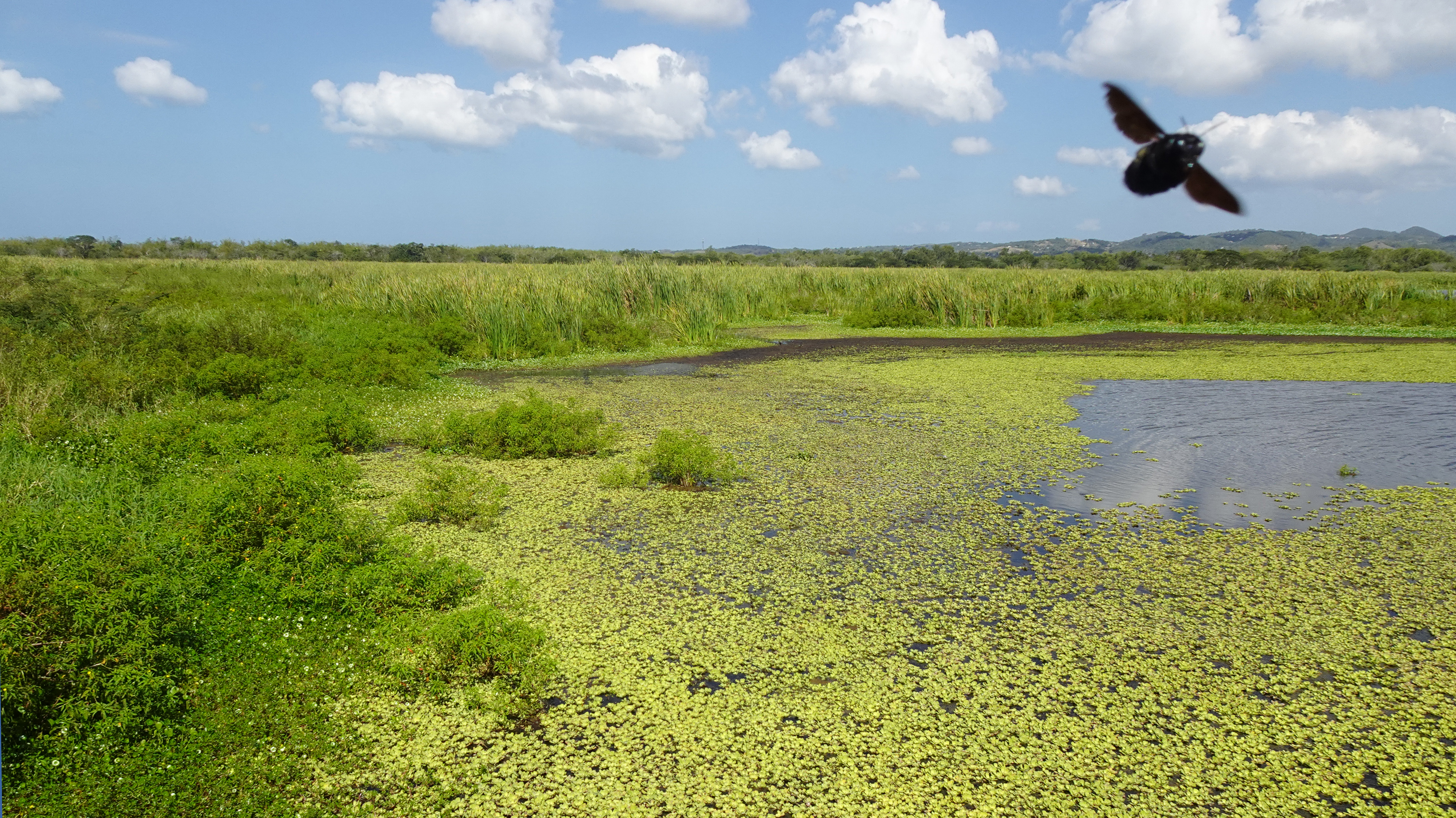
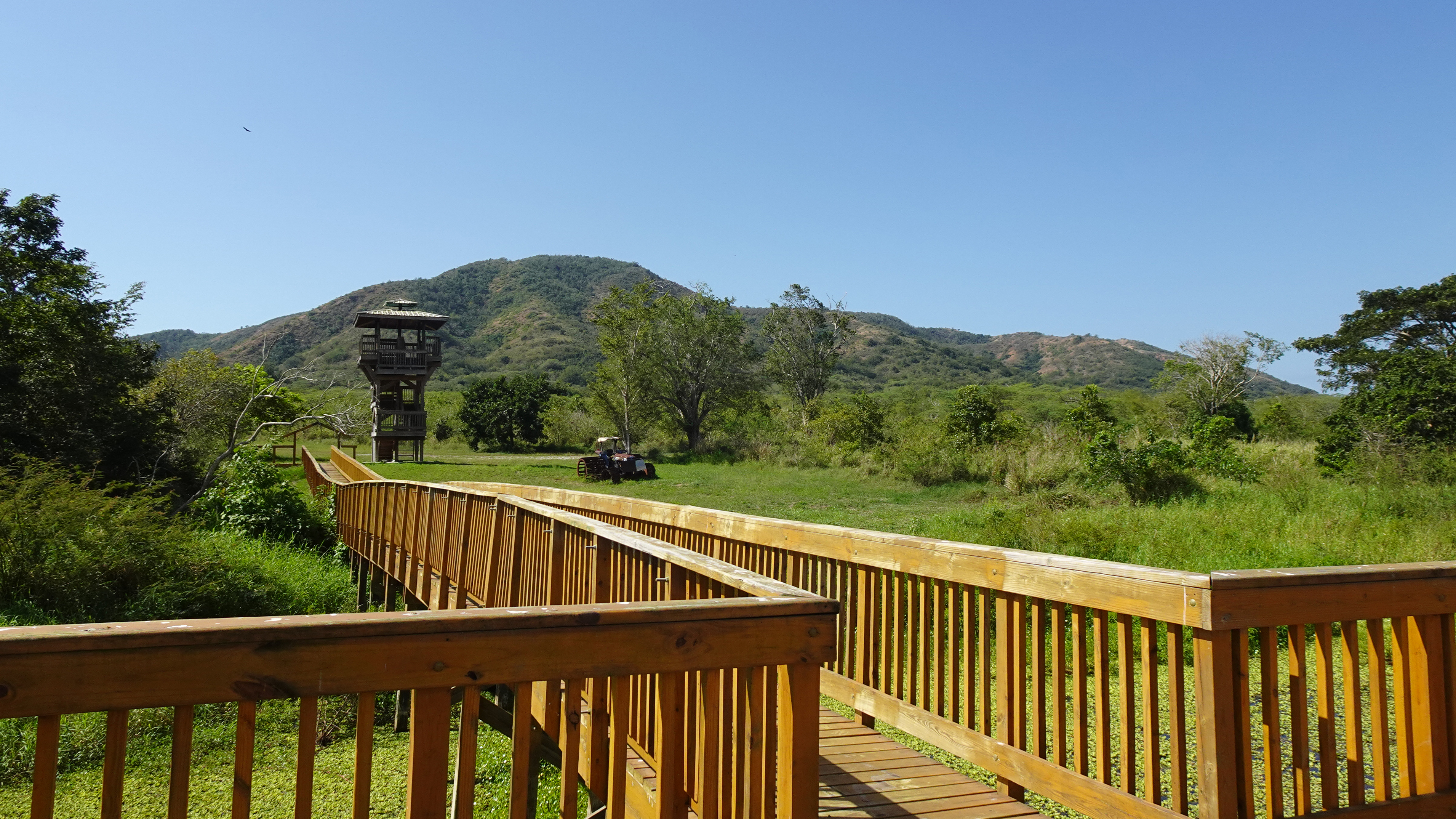
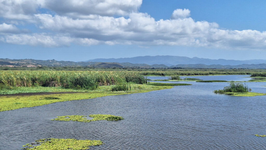
The Laguna Cartagena National Wildlife Refuge bursts with birds year-round, but also offers hiking and mountain biking trails and some pretty spectacular scenery. Managed by the U.S. Fish and Wildlife Service, this wetland is one of the most important freshwater habitats for migrating and resident aquatic birds in Puerto Rico.

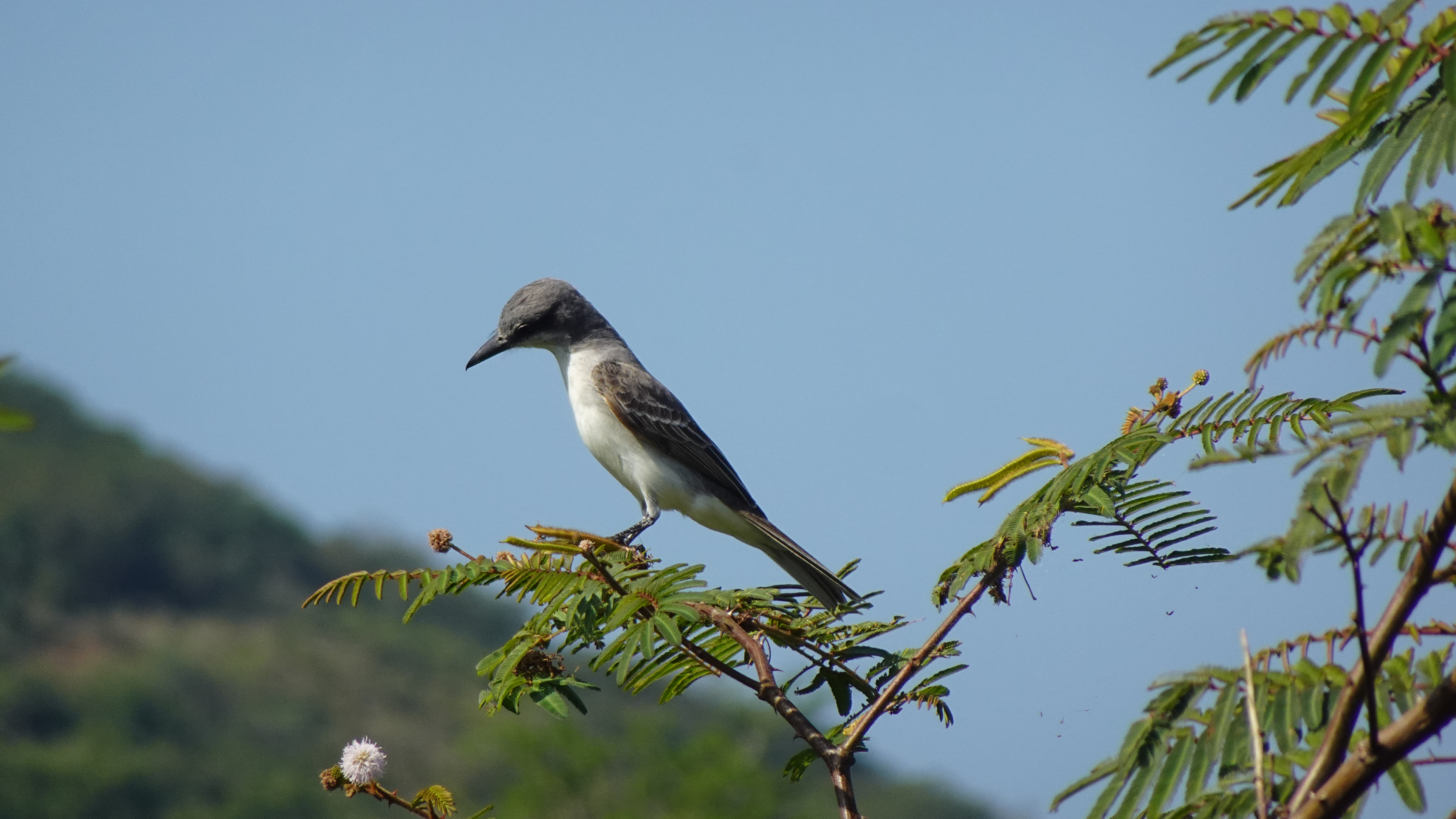
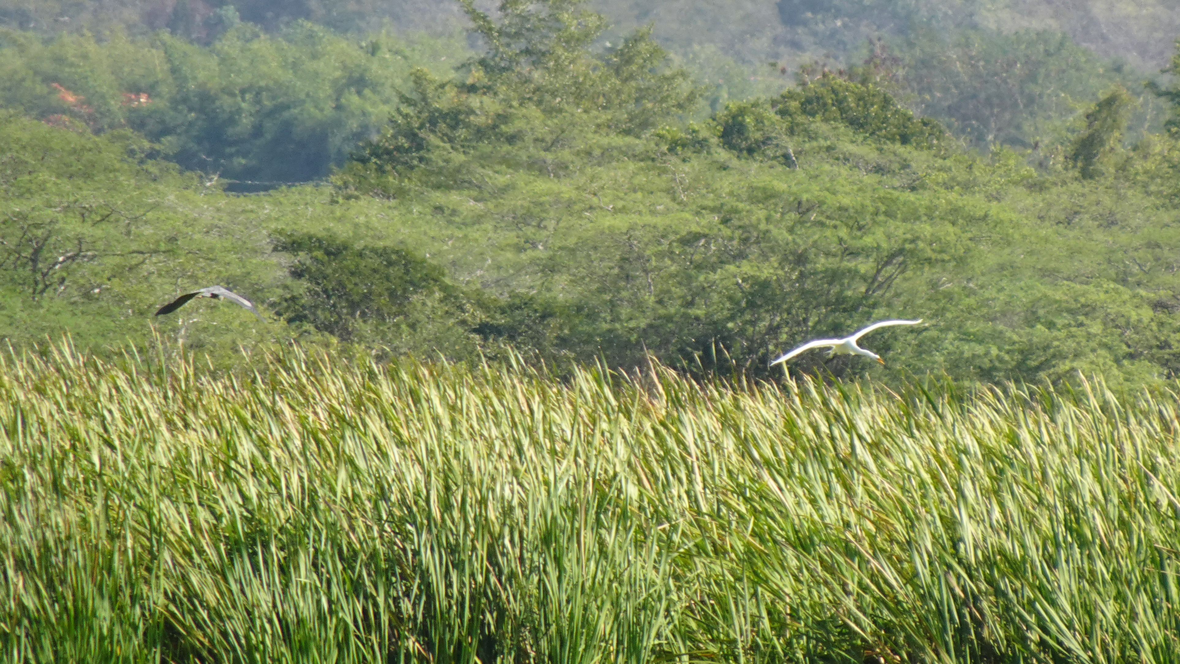
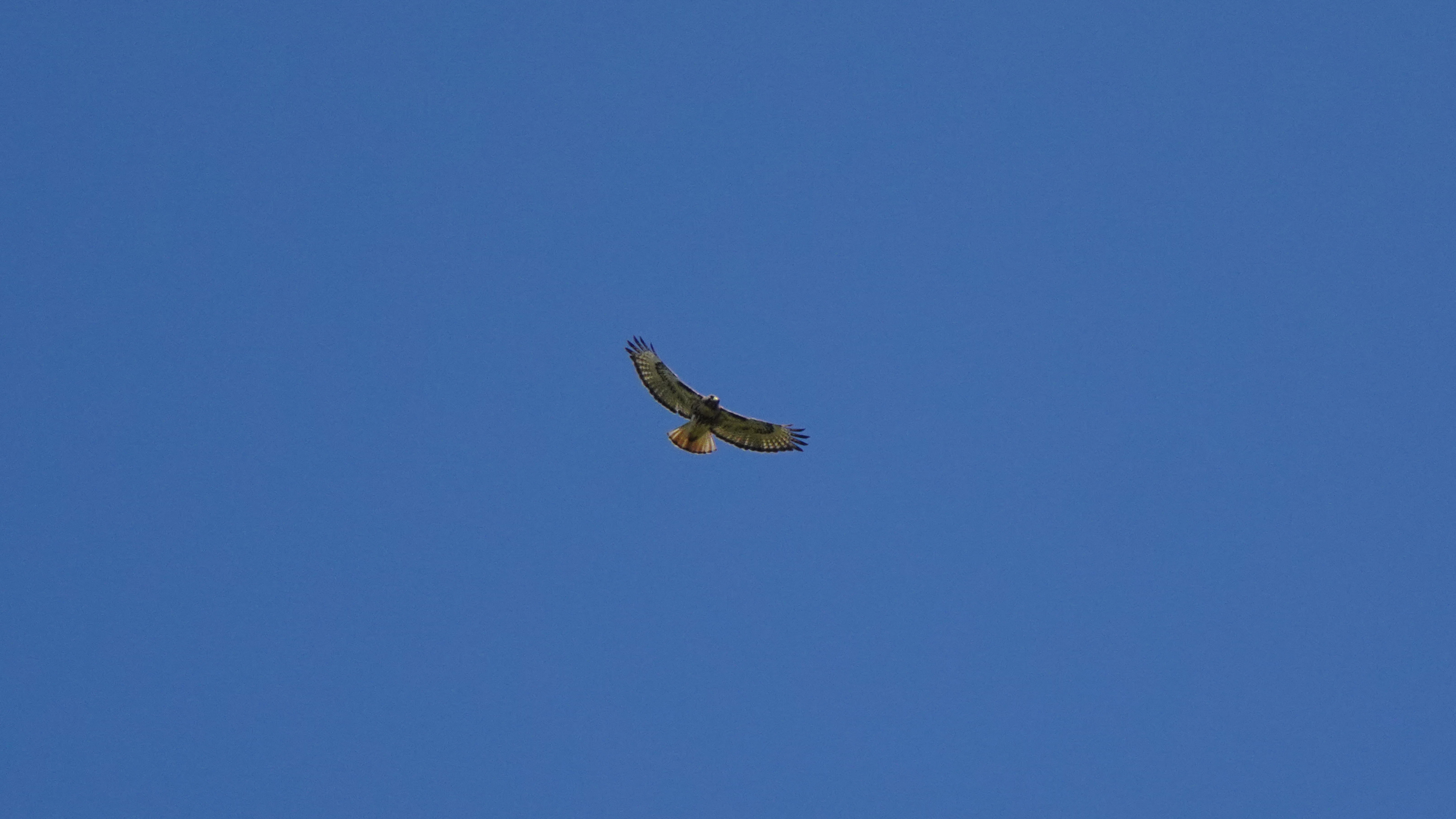
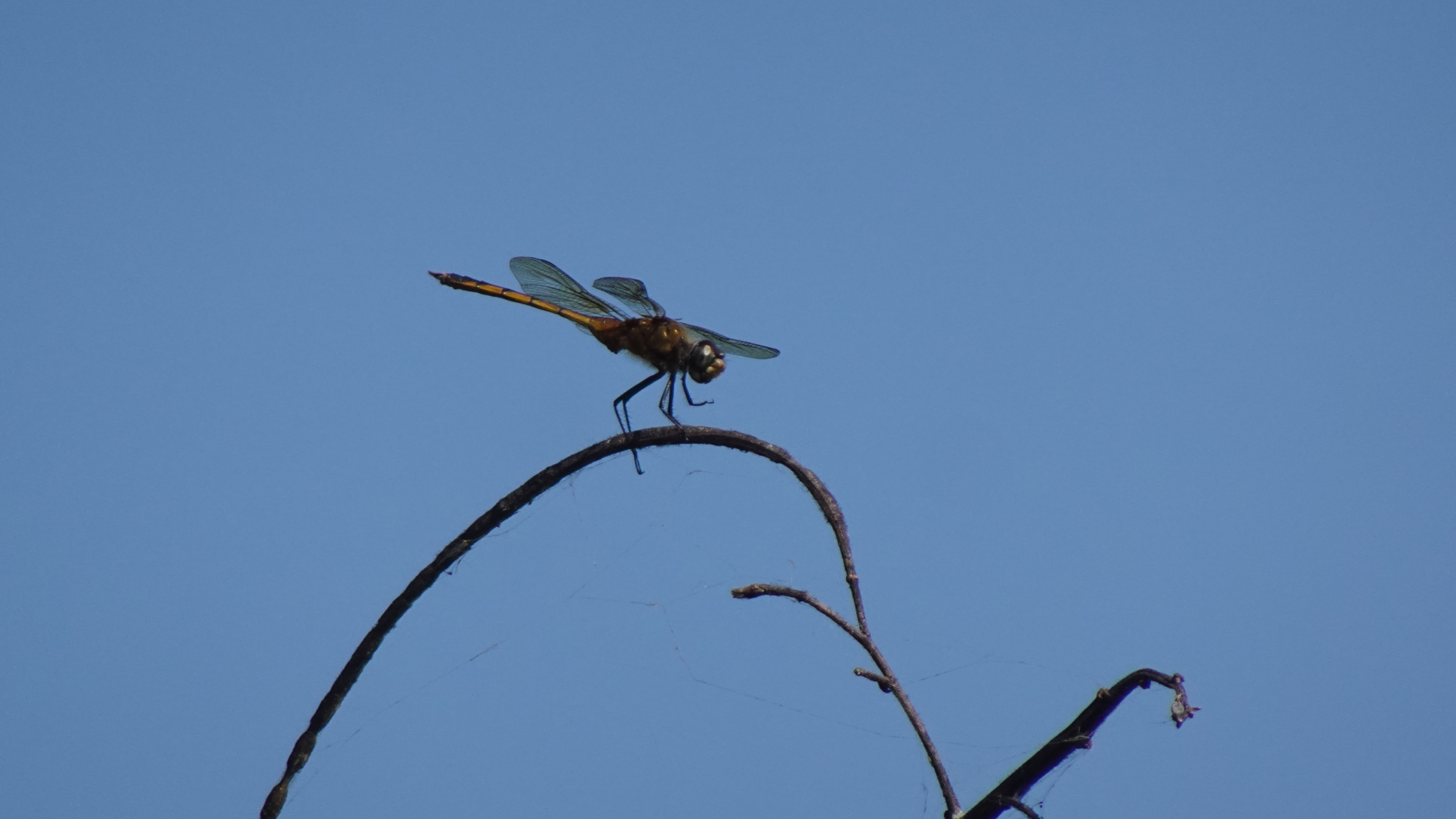
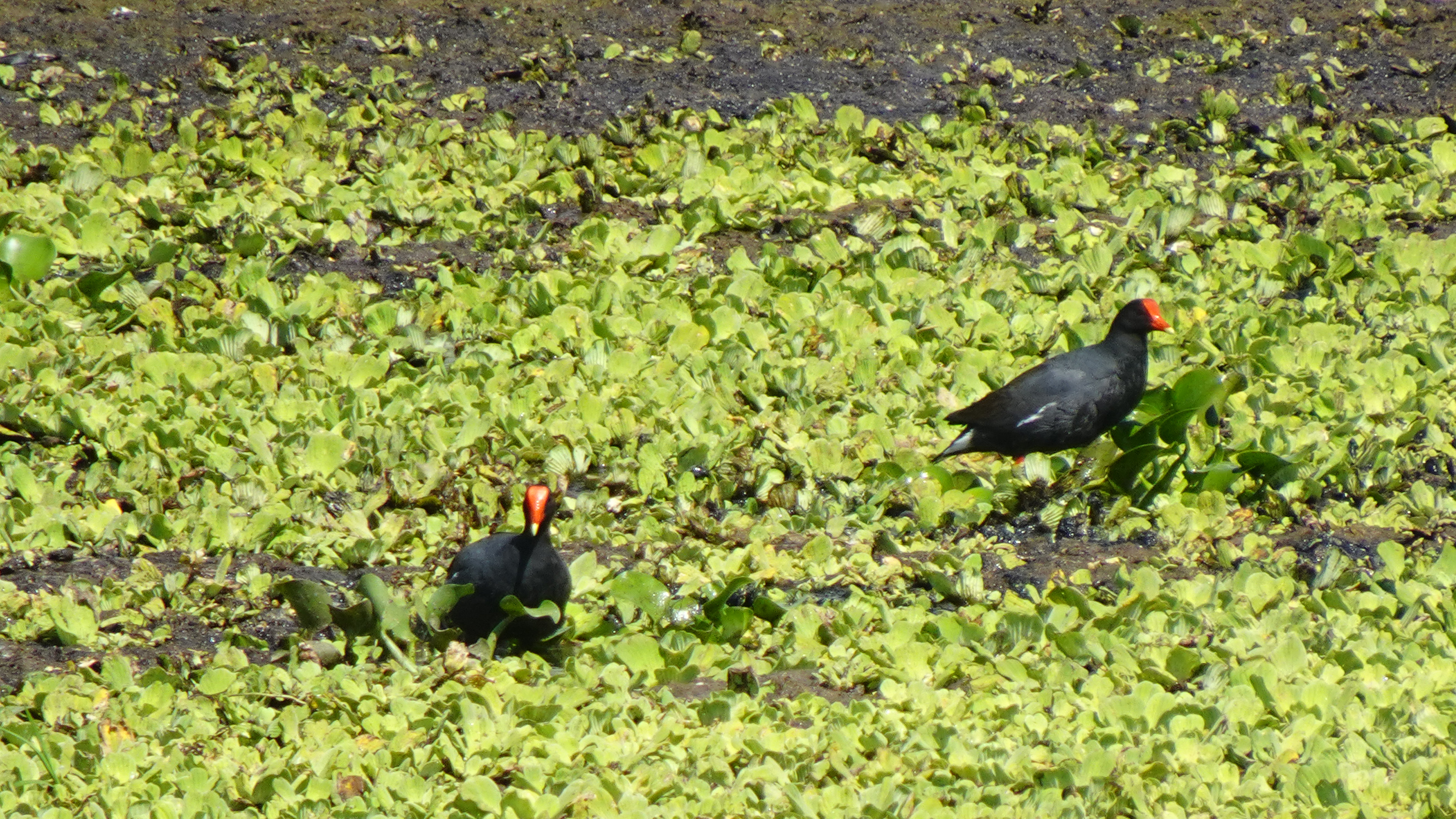
Almost half the birds recorded in Puerto Rico have been observed in the lagoon and its nearby hills. Visitors have a good chance of seeing a Magnificent Frigatebird, several species of herons, smooth-billed ani, the common moorhen, and occasionally the yellow-shouldered blackbird. I even saw white egrets and an osprey.

So if you’re anywhere near the southwest coast of the island, you should put on your hiking shoes, grab a pair of binoculars, a bottle of water, and a good camera, and spend a morning watching the avian activity and enjoying the birdsongs.

The trails are closed during nesting season – early March to late August – so time your visit well.

Enjoy Photos!

Info:

Fish & Wildlife
Birdfinding.org (Laguna info)
Birdfinding.org (Caribbean bird index)

MAP

Mini-Tour: Bird’s-Eye View of Boquerón Beach

Balneario (Public Beach) Boquerón is one of our favorite beaches, and we showed it to you in an earlier video. But now Beto has a drone, and you’ll find the view is even better from the sky! 

The view of the crystal-clear water and the reefs and rocks below is astounding, with the stunning mountains in the distance. And Boquerón, which is a national park,  features many facilities you can’t see from the beach, including beach volleyball, a tennis court, a basketball court, a camping area (with cabins still being restored after damage from Hurricane Maria in 2018), and more.

INFO

Balneario Boquerón
Messy Suitcase Original Boquerón Beach Video

Map

Hiking the Cliffs at Playa Sucia

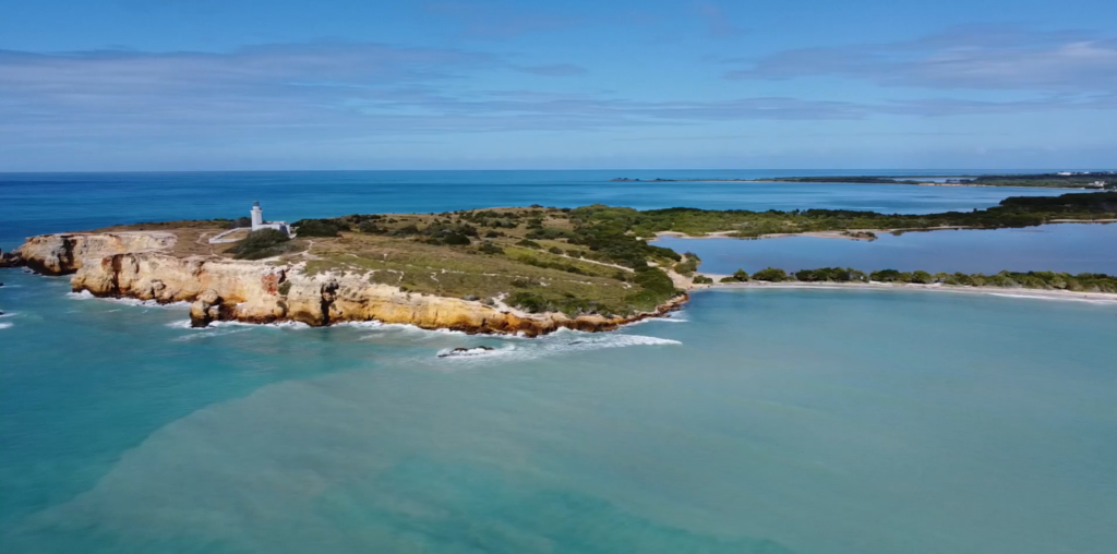
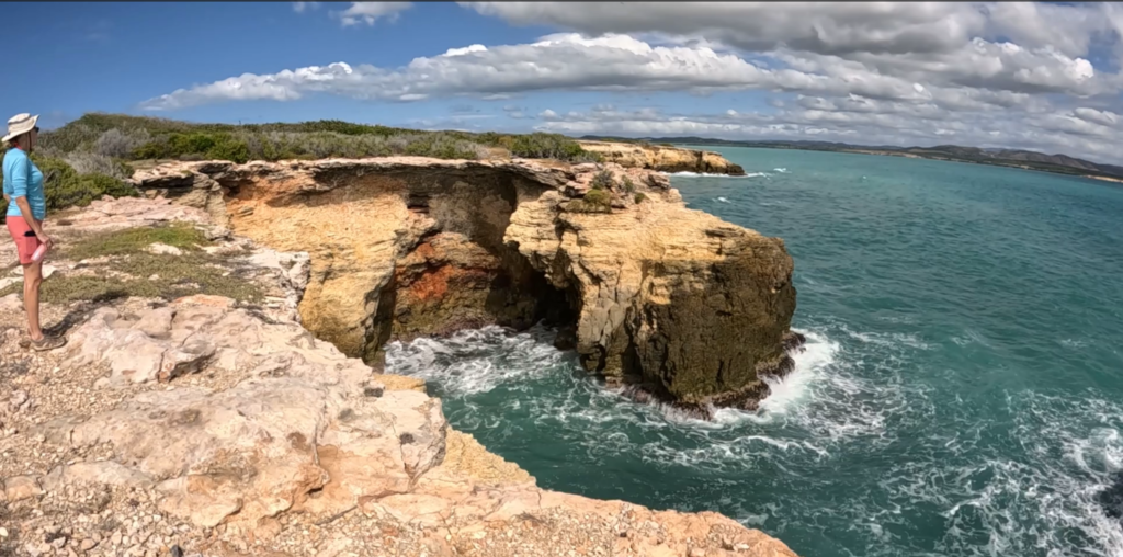
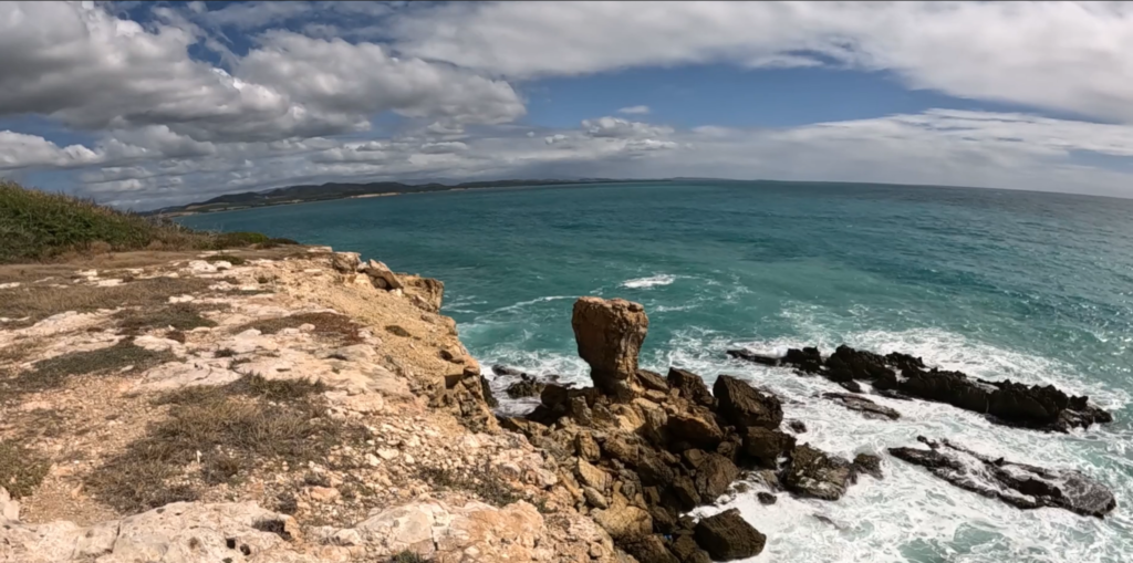
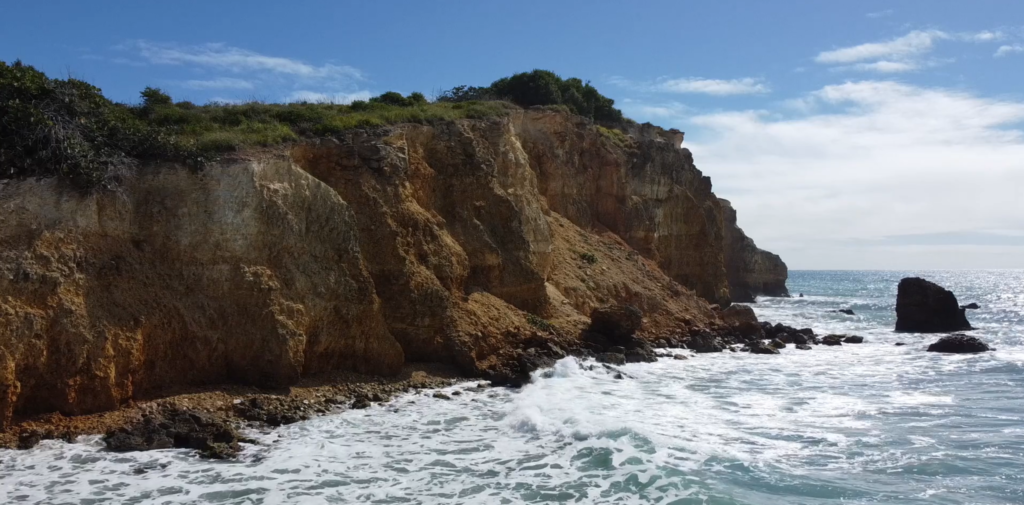
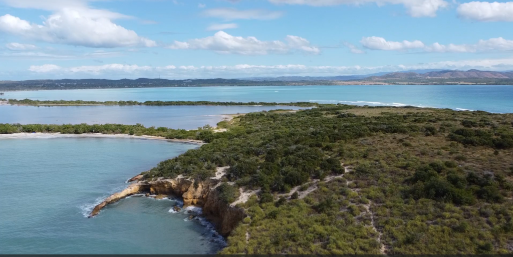
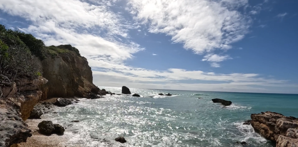
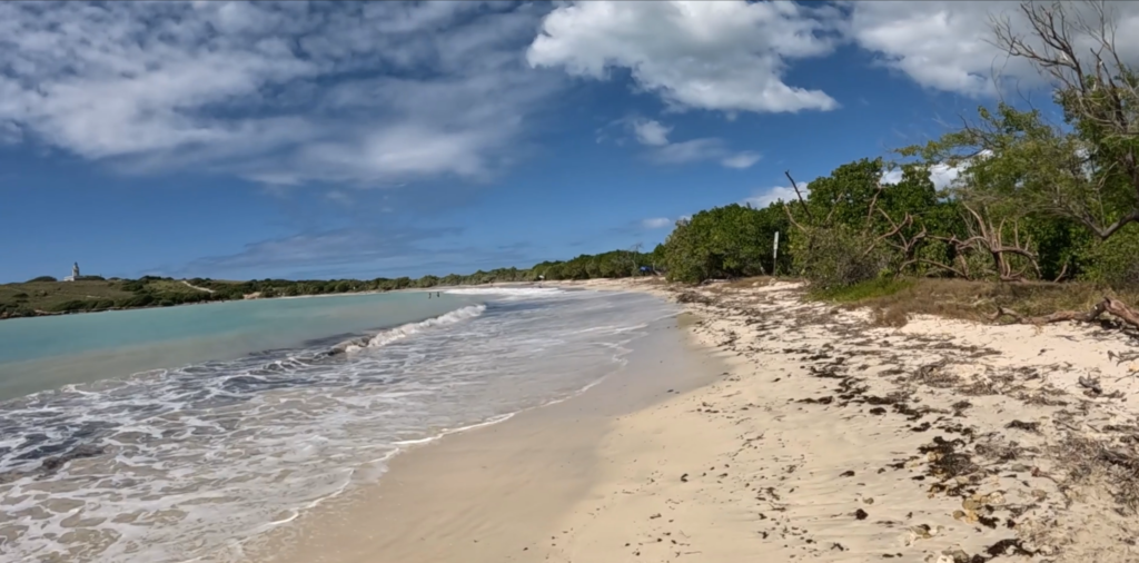
You feel as though you’ve gone to the end of the earth when you stand atop the stunning cliffs rimming the peninsula beyond pristine Playa Sucia, the beach at the extreme southwest corner of Puerto Rico, and look out across the vast turquoise sea.

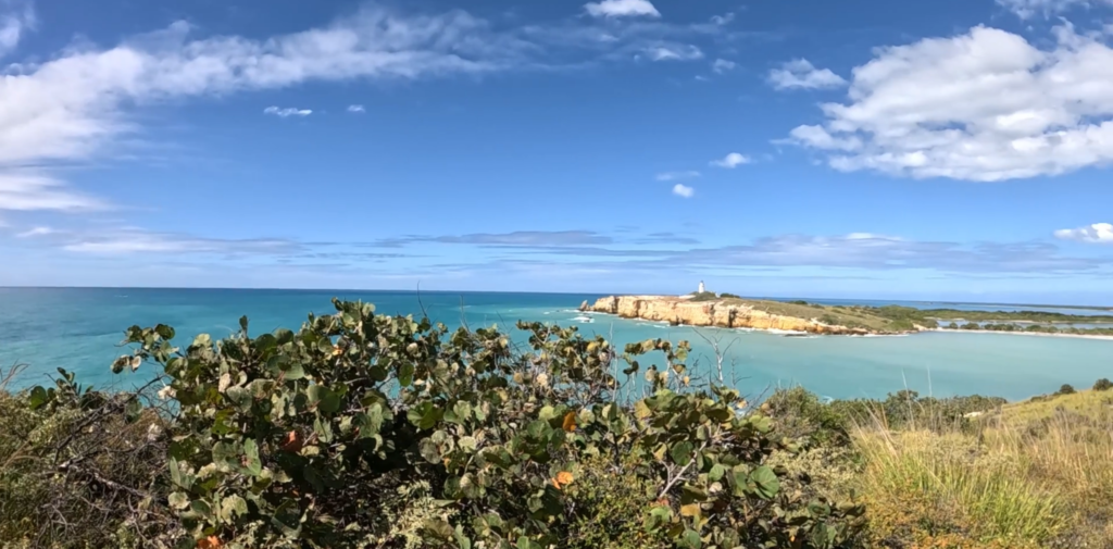
Most hikers who come here take the breathtaking 1 ½ mile trail that encircles the iconic lighthouse Los Morrillos. We did it, ourselves, a couple of years ago. (Here’s the video) It was amazing!

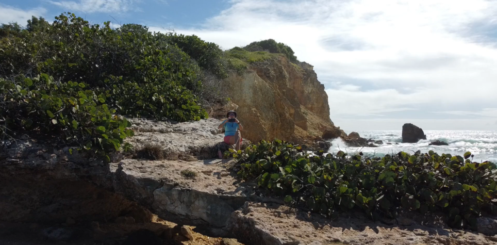
But if you sneak off to the very left side of Playa Sucia (also known as Playuela), you’ll find a billy goat trail of about 2 ½ miles that gives you devastating beautiful views of the lighthouse from across the bay, with waves crashing into the cliffs below. You’ll also take in the crescent beach and the vast ocean beyond. The area is called Acantilados de Cabo Rojo, which translates to the Cliffs of Cabo Rojo. If you’re afraid of heights, don’t go too close to the edge! Otherwise, prepare to be blown away, by both wind and natural beauty.

There’s no shade, so wear sunscreen and a sunhat, and bring water to drink. But the most important accessory is your camera! We suggest you drop your beach chairs and swimsuits under a seagrape tree on the beach before hiking so you can cool off afterward with a dip in the warm waves.

PHOTOS

INFO

AllTrails Description

Map

Mini-Tour: Playa Tres Tubos

Playa Tres Tubos is a cozy neighborhood beach just a few short miles up the road from us in Joyuda, Cabo Rojo. There’s parking along the main road, but finding the pedestrian entryway was a bit of a challenge. The short path to the beach offered lovely mural art and shady trees.

Tres Tubos itself was a little gem of a beach, with soft sand; clear, calm water; but no shade. There are no facilities or shops nearby, so we brought our own lunch, and took the opportunity to test out our new shade tent for the beach.

INFO

Playa Tres Tubos – Sorry, no links to provide, there is no official info. Consider yourself scooped by an insider!

Pacific Breeze Easy Setup Beach Tent
Map

The Mask Maker of Boquerón

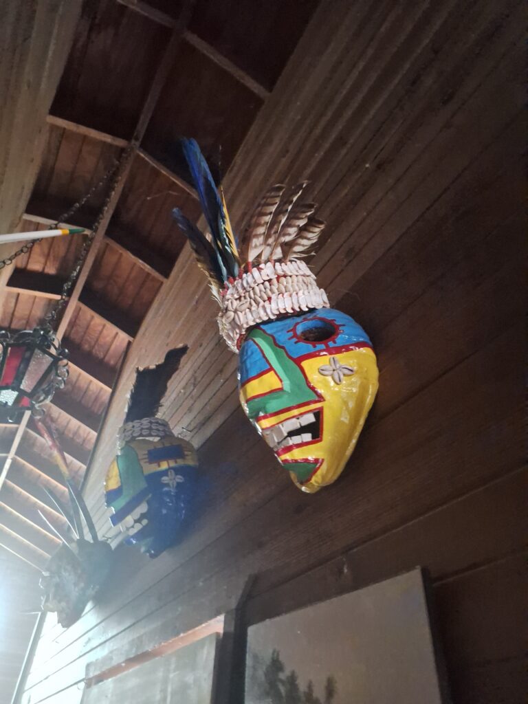
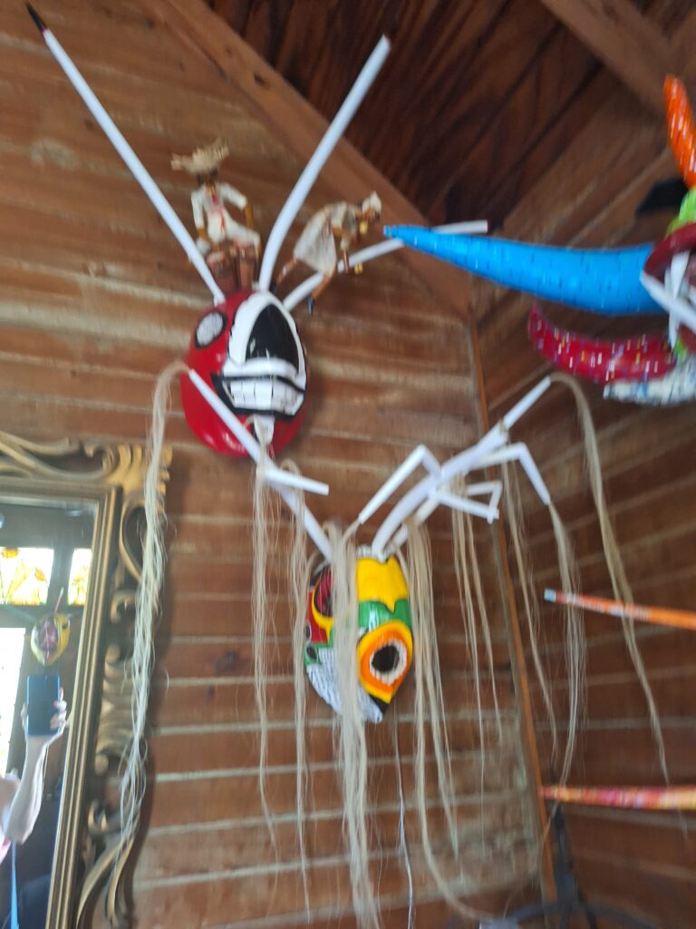
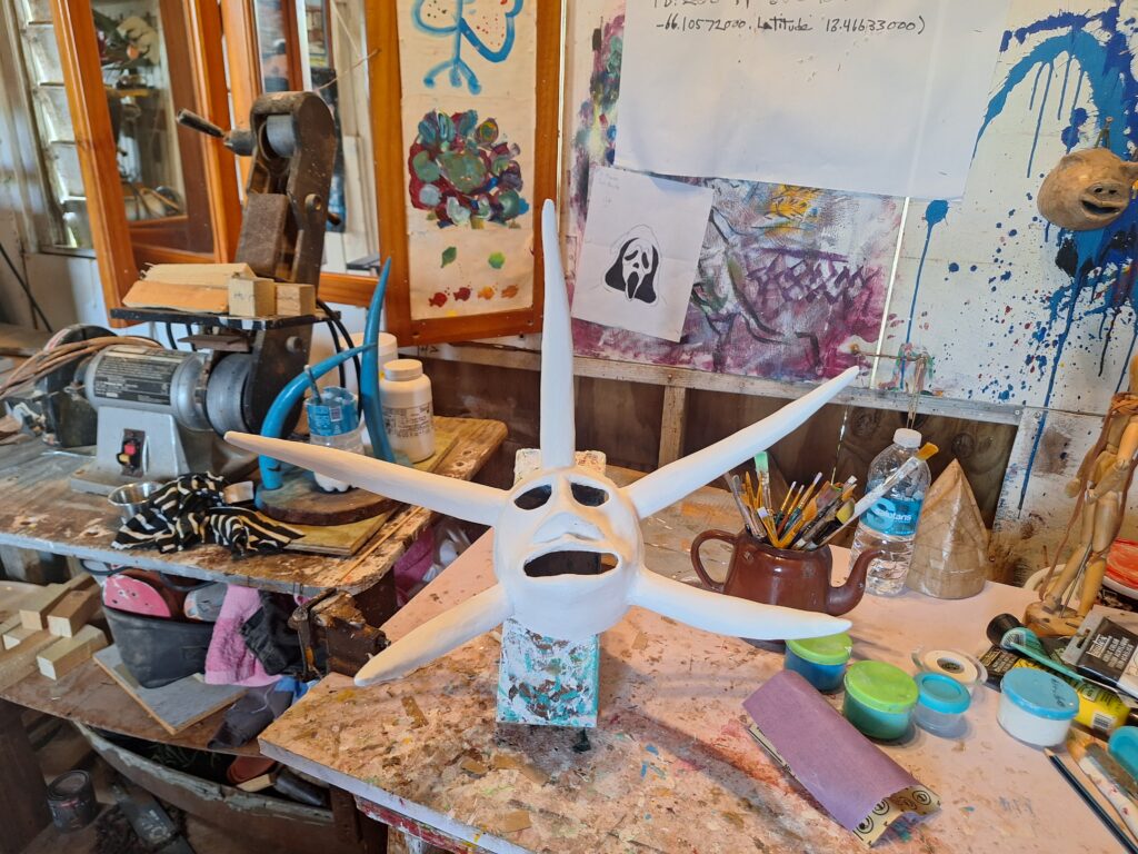
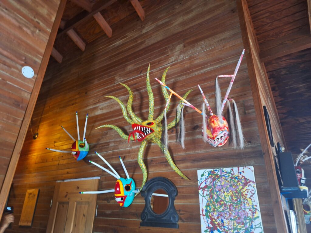
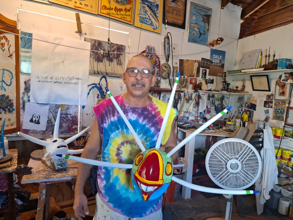
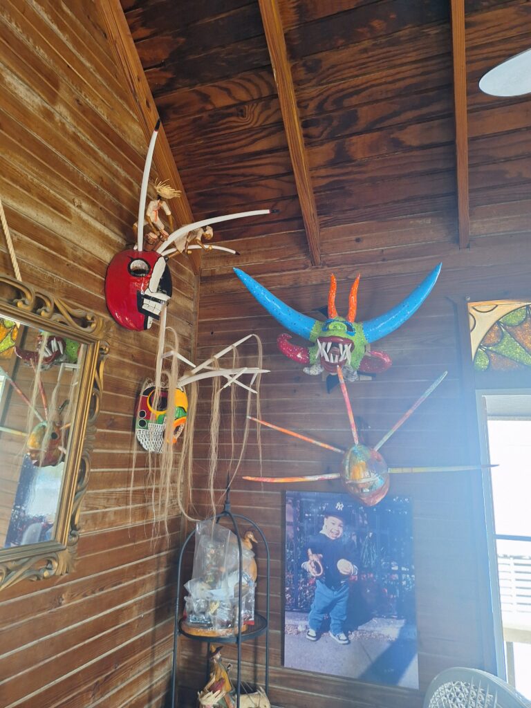
Amil Droz, an artisanal mask maker based in Boquerón,  Puerto Rico, took us for a walk through his rustic wooden home and art studio to see his vejigante masks and other 3D works of art he has created.

Amil (pronounced Ay-MEEL) is originally from Puerto Rico, but spent most of his life living in New York, which you will be able to tell from his accent. He calls his business Tuntuneco Arts. His masks are mostly made out of coconuts in the style found in Loiza, Puerto Rico. We purchased one to display above the bar of our Cabo Rojo home.

Amil Droz Torres is a certified cultural Artisan whose art studio and shop, Tuntuneco Arte Taino, is located above the Copy Hamburger bar in Boqueron, Puerto Rico. His masks sculptures and painting are found in museums, schools, and corporations in New York and PR. He also teaches and presents as a guest artist. We were lucky to meet him in a Cabo Rojo sports bar while watching the AFC Championship Game! He’s also a NY Yankees fan, but we can forgive him for that.

PHOTOS

INFO

Amil Droz, Tunteneco Arts, on Instagram
NY Digital Heritage Collection Profile

Map

Social media & sharing icons powered by UltimatelySocial
Facebook
Instagram
YouTube
Twitter
Pinterest