Hiking the Cliffs at Playa Sucia

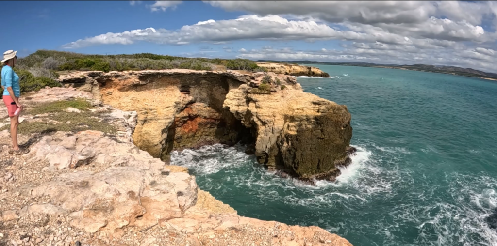
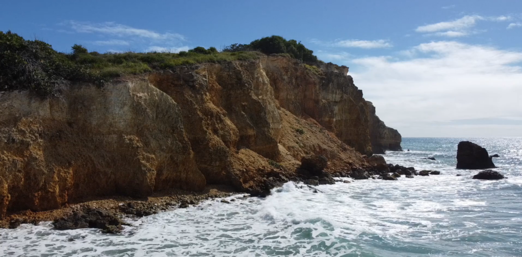
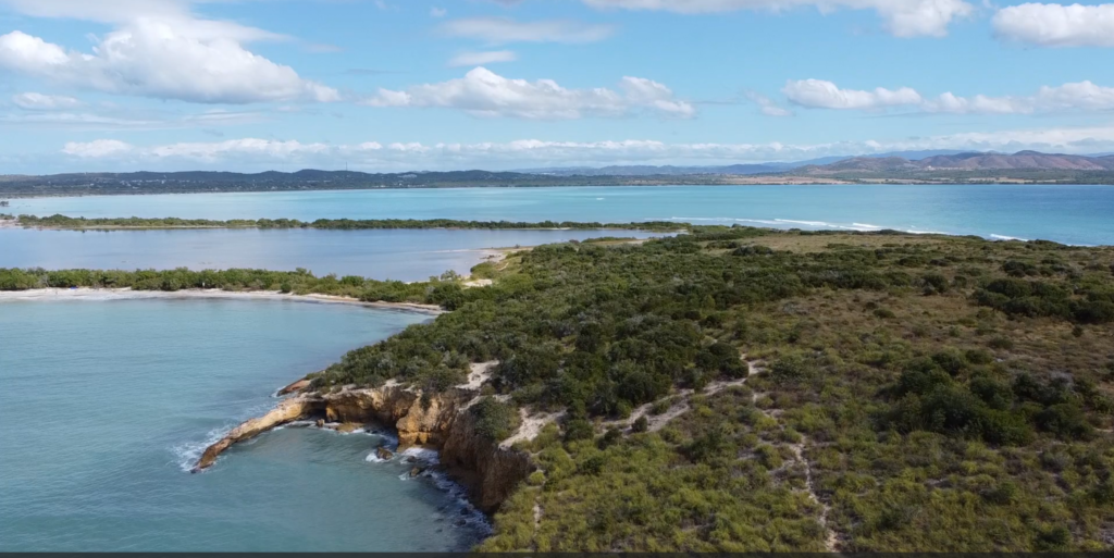
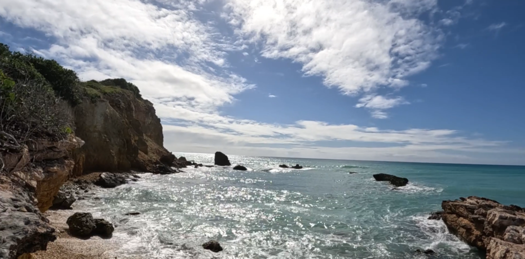
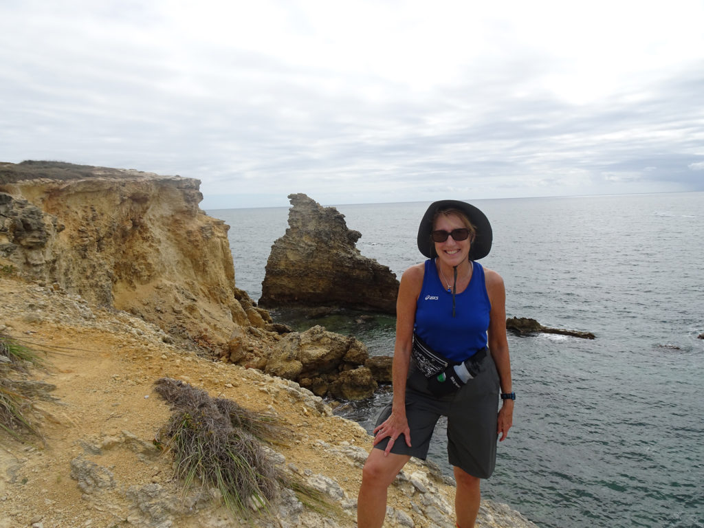
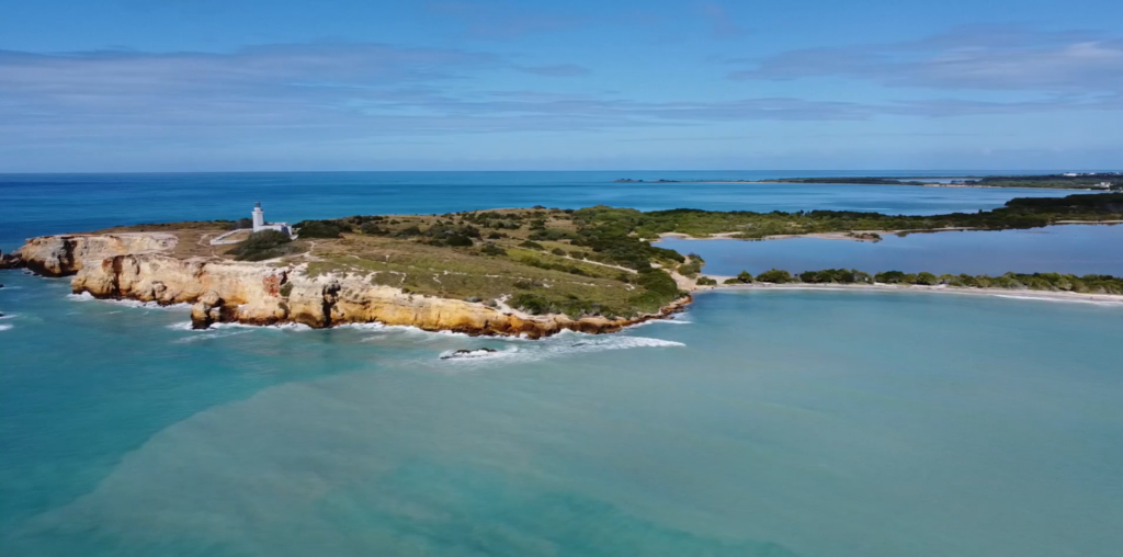
You feel as though you’ve gone to the end of the earth when you stand atop the stunning cliffs rimming the peninsula beyond pristine Playa Sucia, the beach at the extreme southwest corner of Puerto Rico, and look out across the vast turquoise sea.

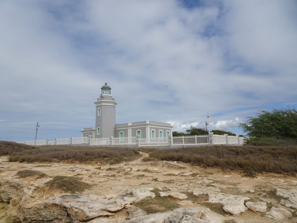
Most hikers who come here take the breathtaking 1 ½ mile trail that encircles the iconic lighthouse Los Morrillos. We did it, ourselves, a couple of years ago. (Here’s the video) It was amazing!

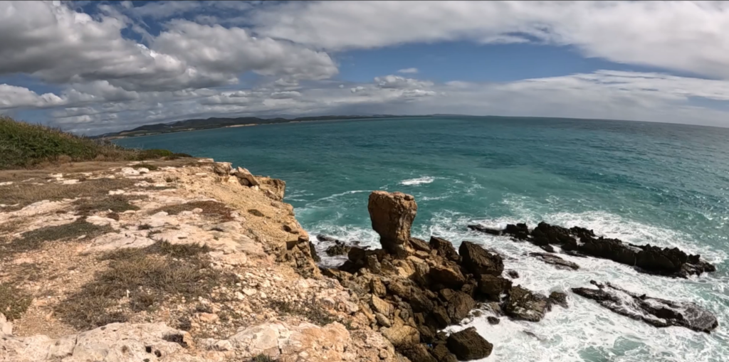
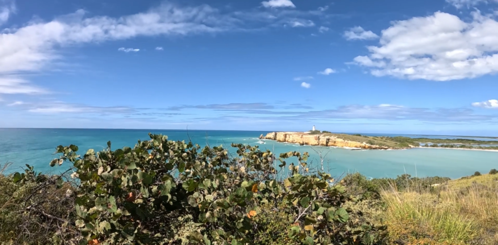
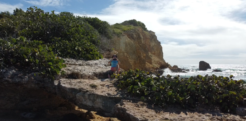
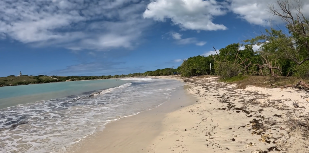
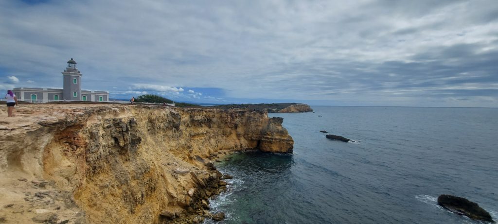
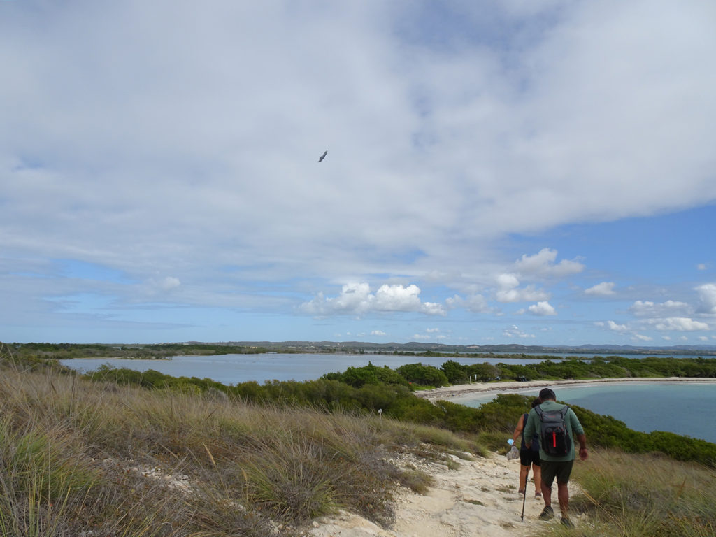
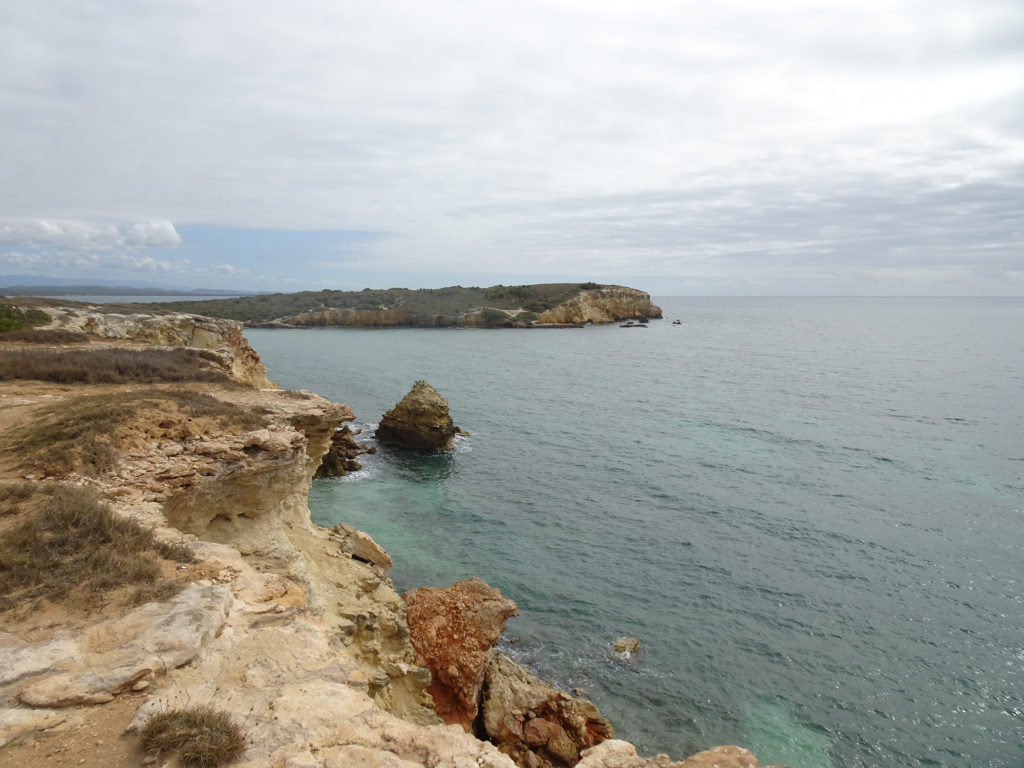
But if you sneak off to the very left side of Playa Sucia (also known as Playuela), you’ll find a billy goat trail of about 2 ½ miles that gives you devastating beautiful views of the lighthouse from across the bay, with waves crashing into the cliffs below. You’ll also take in the crescent beach and the vast ocean beyond. The area is called Acantilados de Cabo Rojo, which translates to the Cliffs of Cabo Rojo. If you’re afraid of heights, don’t go too close to the edge! Otherwise, prepare to be blown away, by both wind and natural beauty.

There’s no shade, so wear sunscreen and a sunhat, and bring water to drink. But the most important accessory is your camera! We suggest you drop your beach chairs and swimsuits under a seagrape tree on the beach before hiking so you can cool off afterward with a dip in the warm waves.

PHOTOS
INFO

AllTrails Description

Map

Messy Suitcase Mini-Tour: Playa Sucia, Puerto Rico

It’s a long haul to get to breathtaking Playa Sucia, one of the most beautiful beaches in Puerto Rico, but worth every mile and bump in the road.

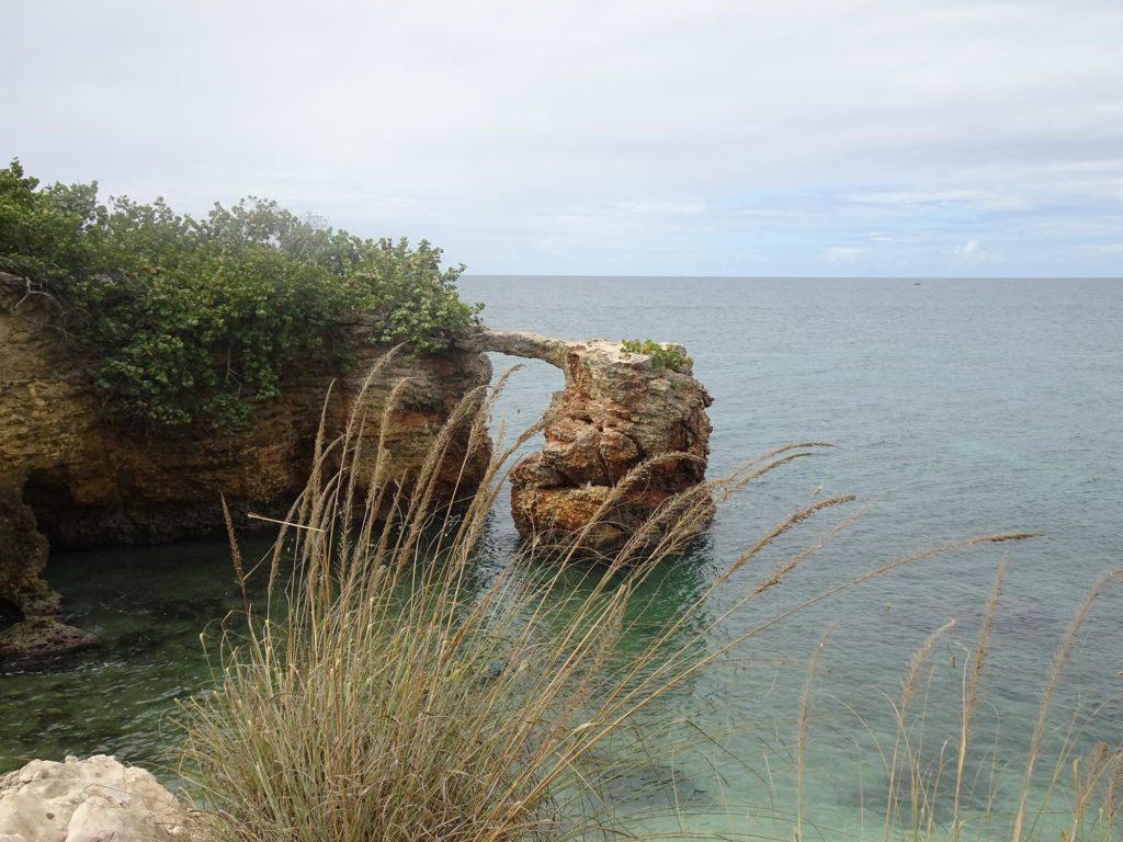
This crescent-shaped stretch of sand is at the end of the road in the extreme southwest corner of the island, Cabo Rojo. It’s framed by Los Morillos Lighthouse on the bluff to the right and rock arches and the beach La Playuela to the left. It offers breathtaking views and plenty of wilderness to explore. The beach is part of the town’s nature reserve, with no services, not even bathrooms, but plenty of shady spots among the mangroves. It requires a little walking from the limited parking; arrive early to get a spot. On the way in you will pass the famous Salt Flats.

Bring lots to drink and eat because you can’t buy anything there. Bring hiking shoes and a camera for the spectacular cliffside trail around the lighthouse.

Info: https://www.discoverpuertorico.com/profile/la-playuela-playa-sucia/8976

Map: https://goo.gl/maps/jUA1Z9pSZQPFAAPr6

Cabo Rojo Lighthouse Hike

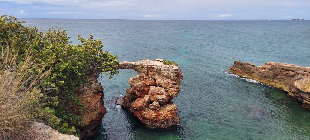
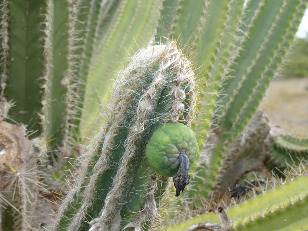
A hike in the nature reserve around the Cabo Rojo Lighthouse (Los Morrillos) served us up spectacular vistas, with stomach-dropping white and red cliffs, fascinating rock formations, crystal-clear Caribbean Sea, and even cacti!

We found the loop trail, part of the Cabo Rojo National Wildlife Refuge, on the All Trails app. It took us around the rocky coastline of this peninsula, then past the salt flats, before dumping us out on Playa Sucia, or La Playela, a gorgeous beach.

It’s located on the southeastern point of Cabo Rojo, on the Morrillos Peninsula, in the southwest corner of Puerto Rico. Learn all about this destination at the Discover Puerto Rico website.

Make sure you come between 9 AM and 5 PM, because the park rangers lock the gate!

Check out Bob’s YouTube video!

Social media & sharing icons powered by UltimatelySocial
Facebook
Instagram
YouTube
Twitter
Pinterest