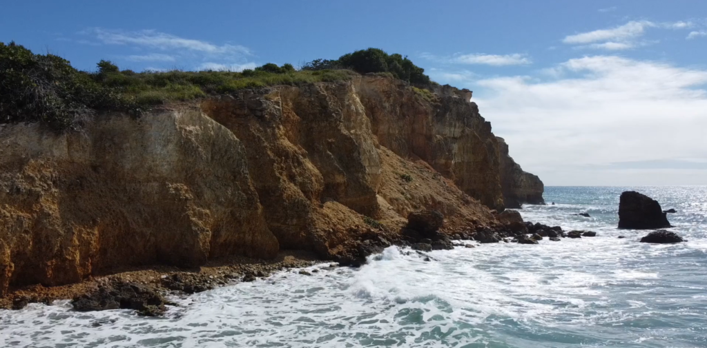
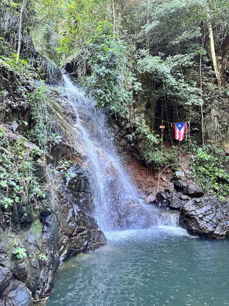
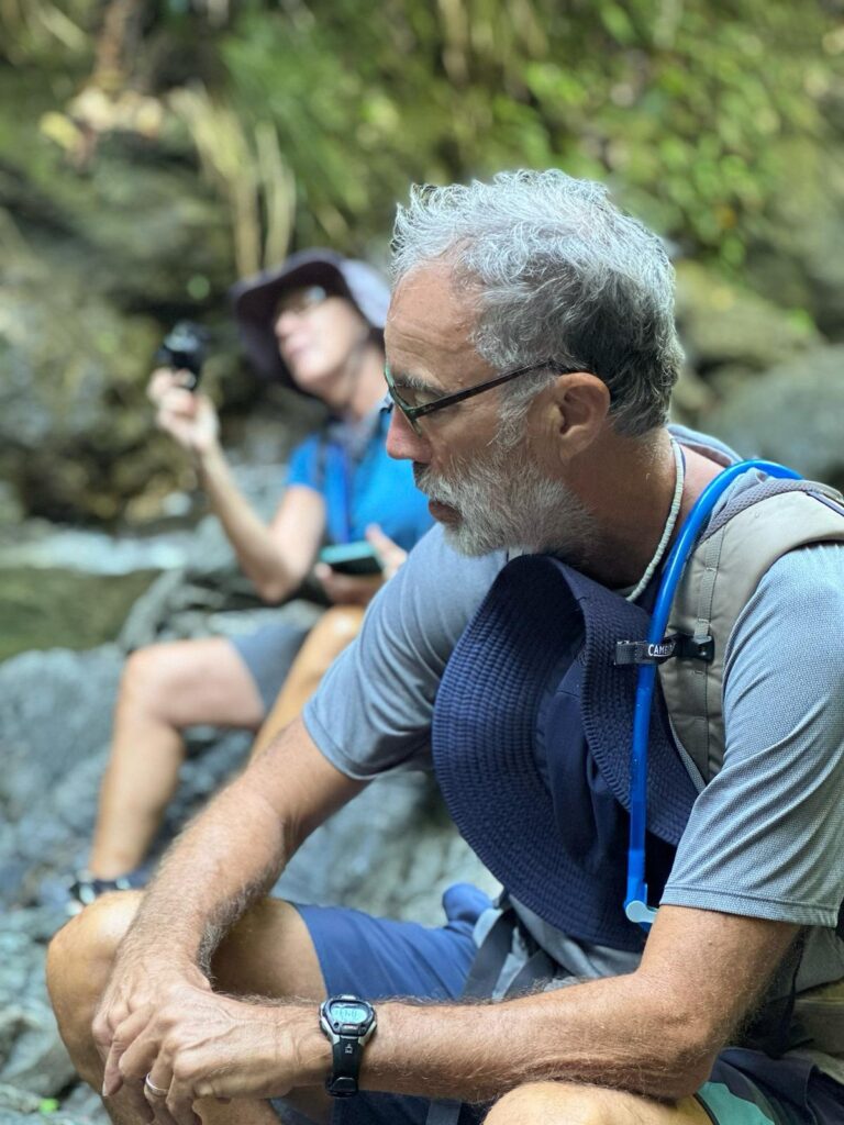
The remarkable hike to and from Charco El Pilón in Puerto Rico’s Maricao State Forest is a challenging rocky, muddy 2 ½-mile scramble along — and often through — the “El Chorote” branch that arrives at the El Pilón stream. The forest is lush and shady, and the terrain is hilly and challenging. The payoff is a spectacular waterfall and swimming hole.
You’ll find the trailhead at the end of Route 362, high in the mountains in San Germán, Cabo Rojo, on the southwestern corner of the island. You can park in front of road barriers or alongside the road. The well-maintained trail immediately, just to the left of a little house, takes you down and then up a steep hill, and it’s game on!
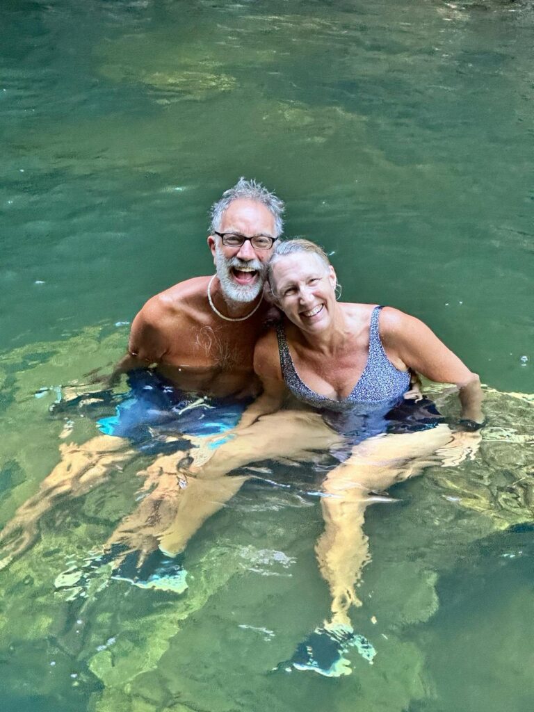
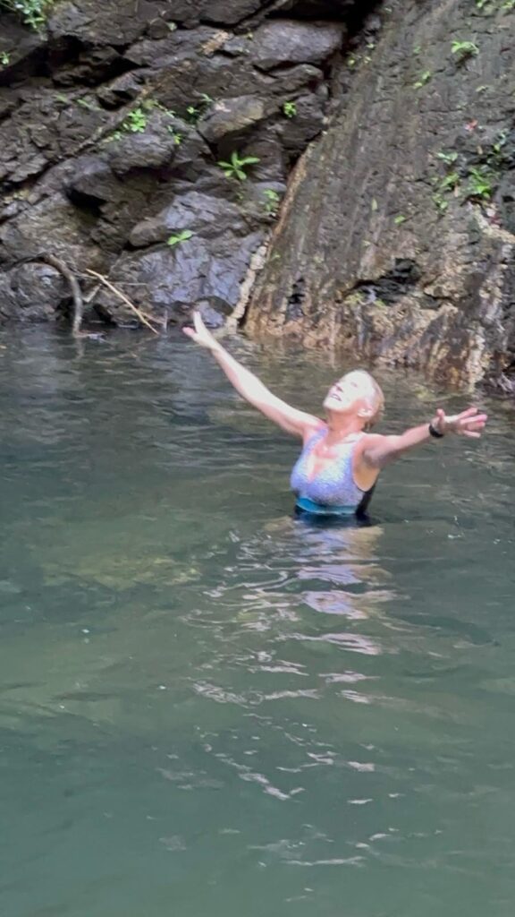
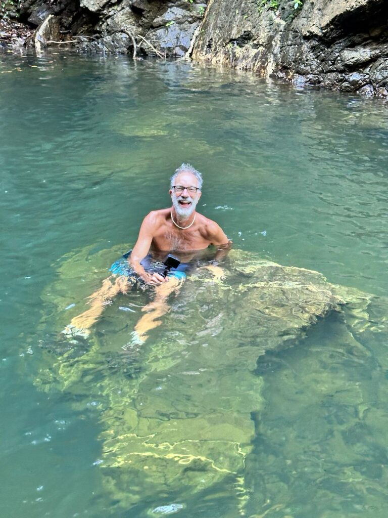
Charco El Pilón is a 30-foot-high waterfall with a deep, clear pool beneath, perfect for swimming in (we kept our shoes on).
Here are a few tips to enhance your experience:
· Start early to avoid the crowds and get a good parking spot. We encountered a guided group of at least 50 people on our way back.
· Bring lots of water.
· Wear a swimsuit!
· Wear shoes with a good grip that you can get wet! I wore Hoka trail running shoes that drained easily and could be washed afterward. Bob wore hiking boots, which were more of a challenge to get clean.
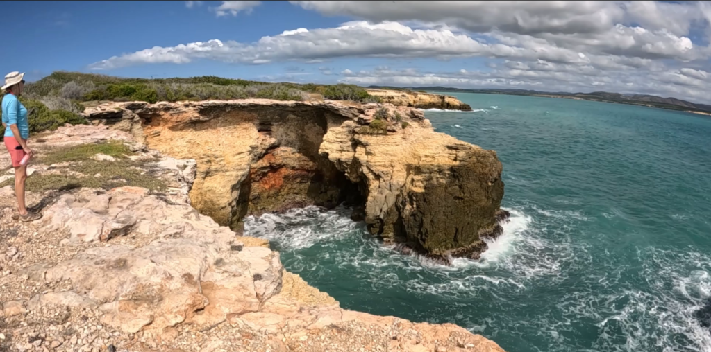
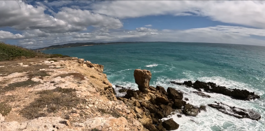
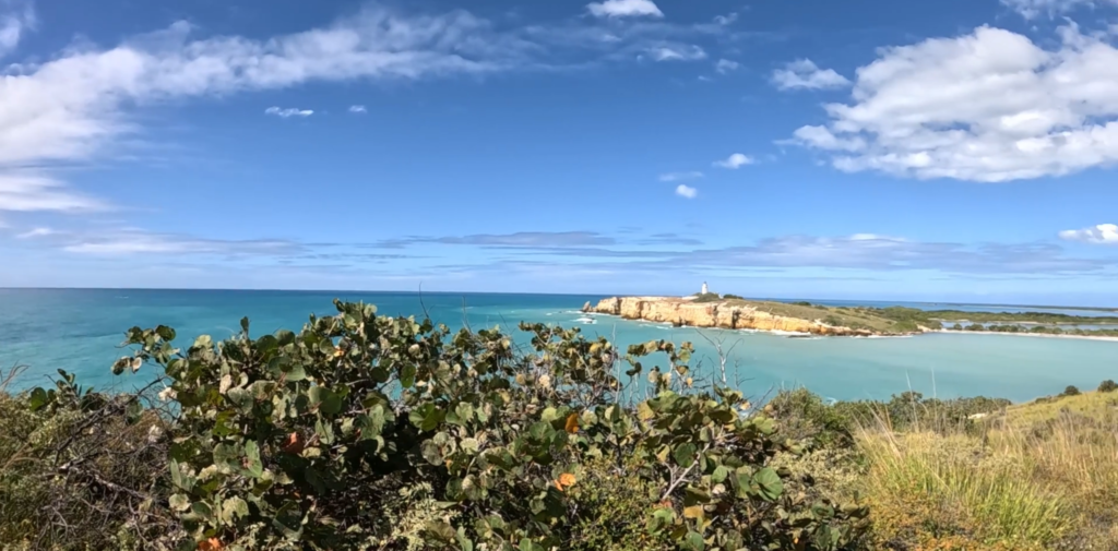
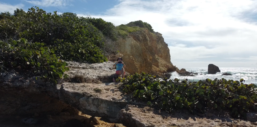
We went with our friends Juan and Rose Marie, who provided some of the photos below, including the title image!
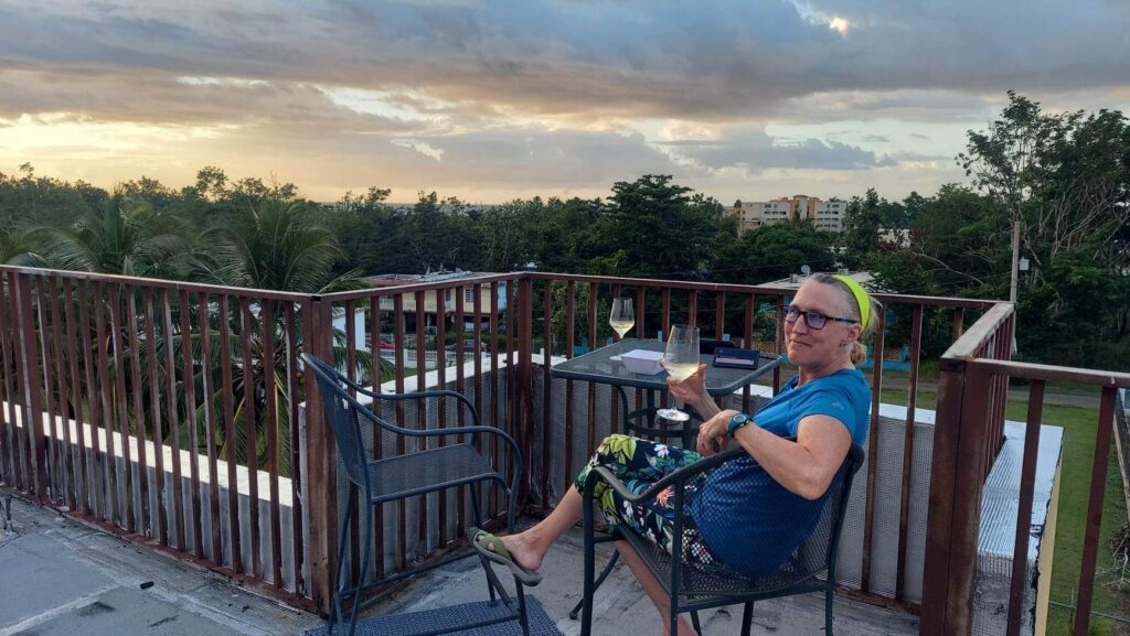
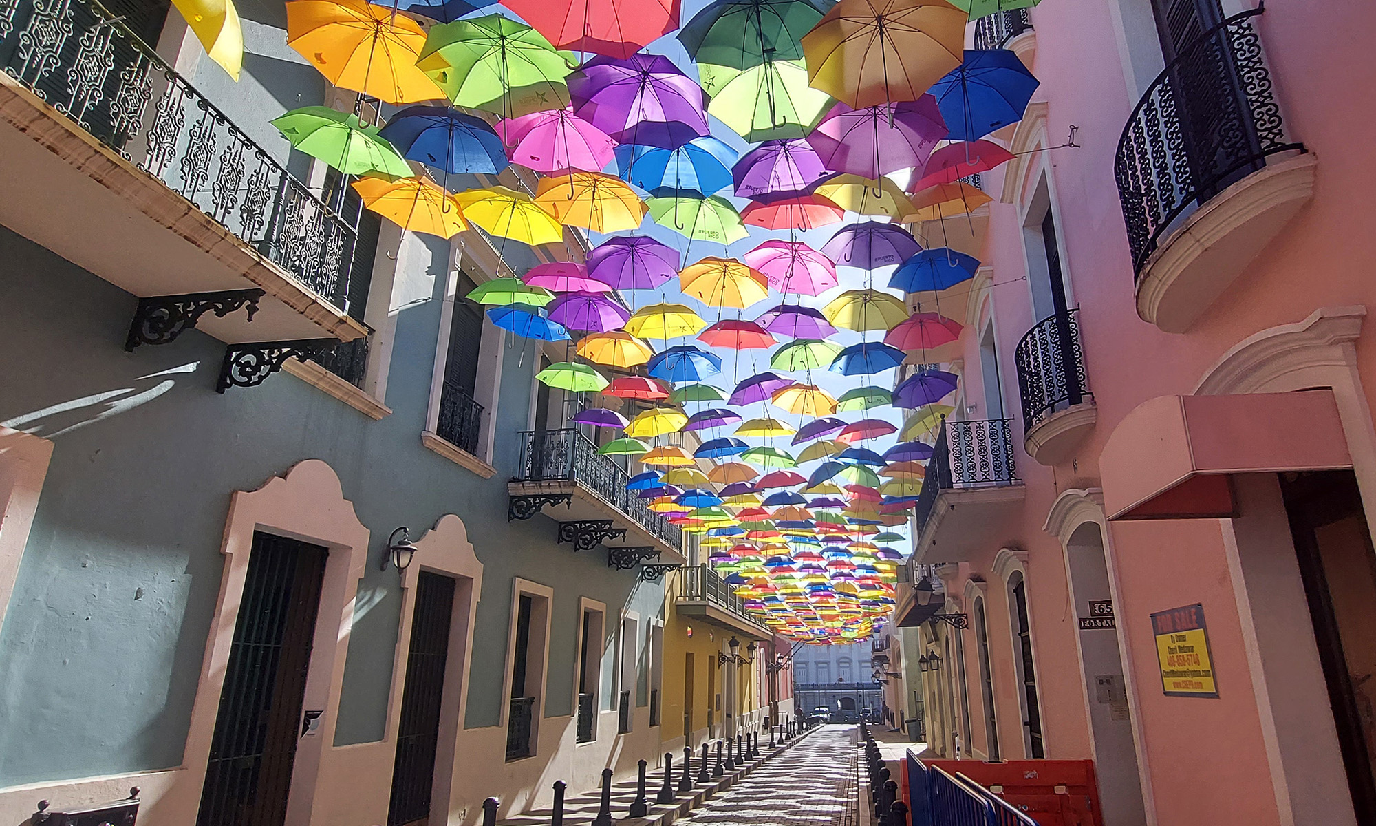
Enjoy Photos
Info
Puerto Rico Day Trips
All Trails Description
All Trails – our hike