Birdwatching at Laguna Cartagena

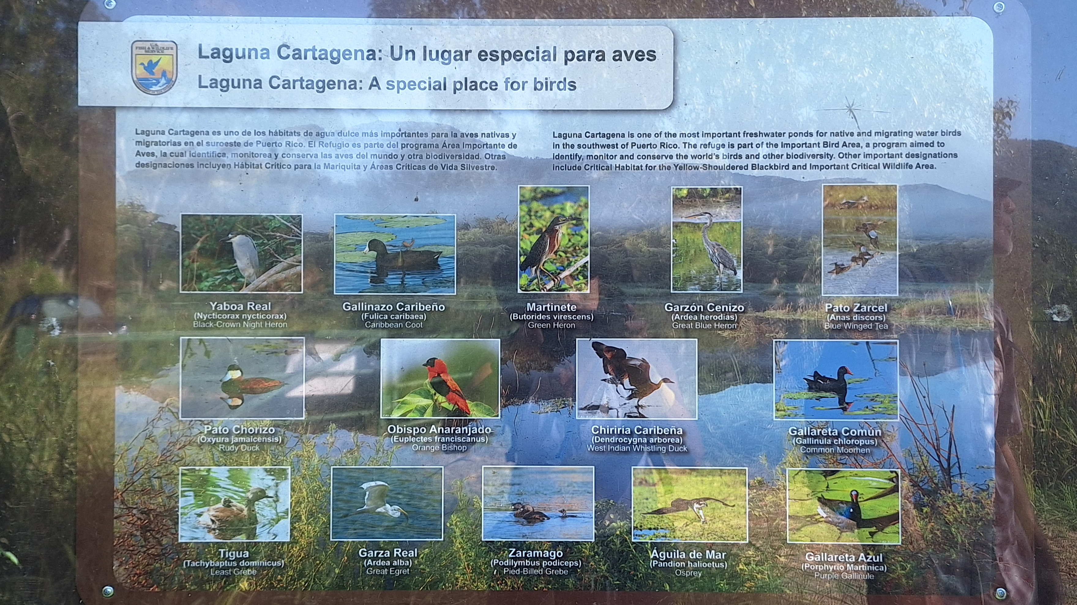
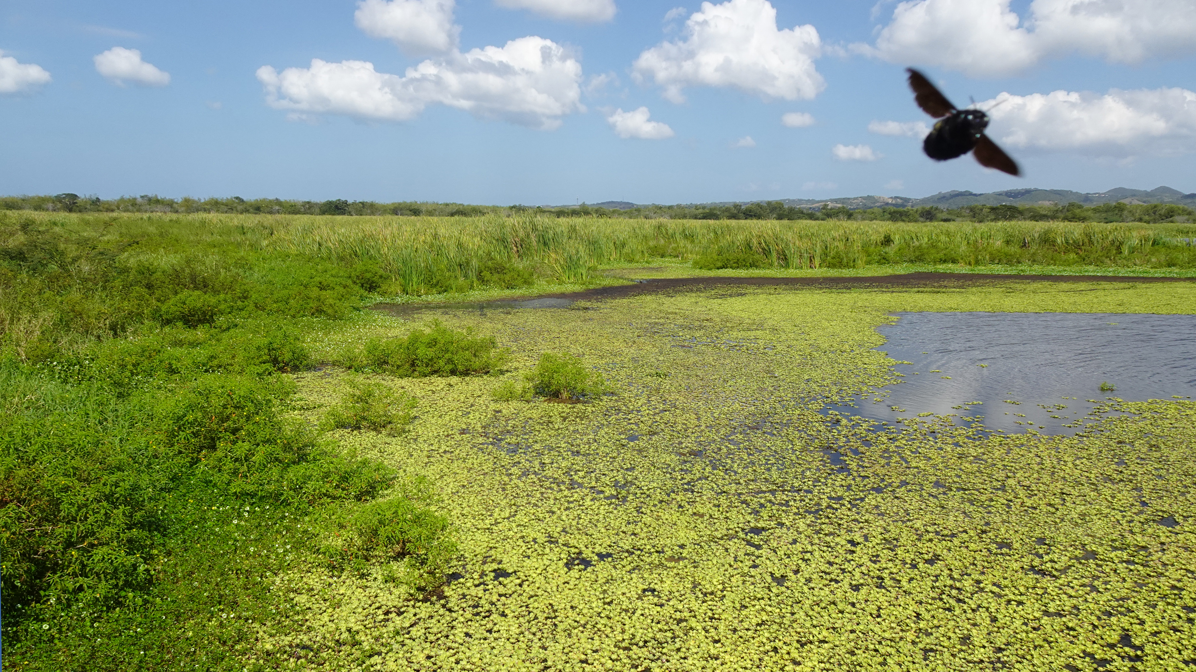
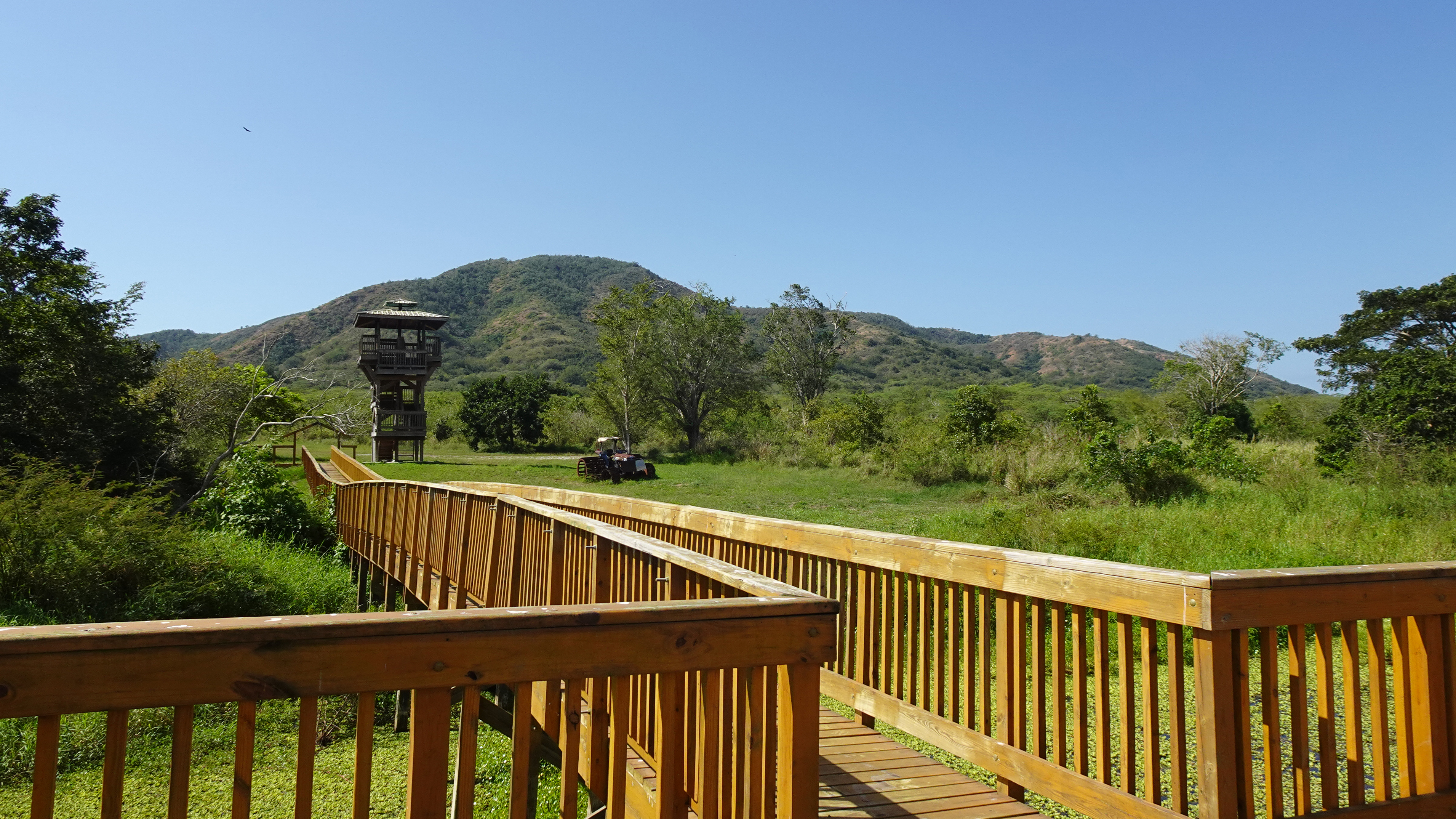
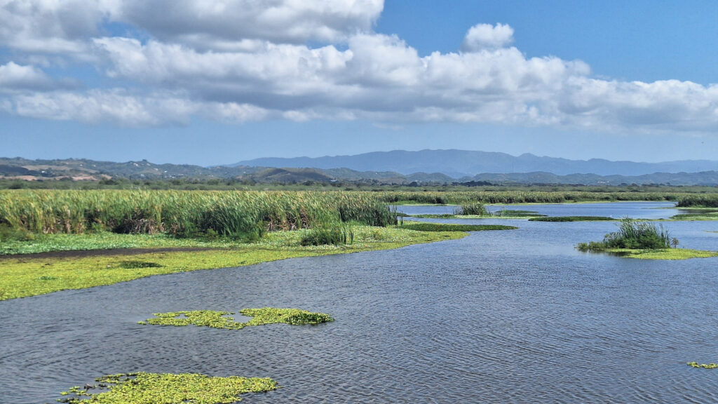
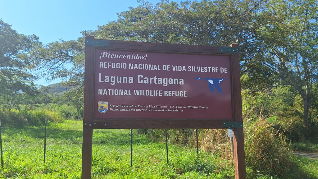
The Laguna Cartagena National Wildlife Refuge bursts with birds year-round, but also offers hiking and mountain biking trails and some pretty spectacular scenery. Managed by the U.S. Fish and Wildlife Service, this wetland is one of the most important freshwater habitats for migrating and resident aquatic birds in Puerto Rico.

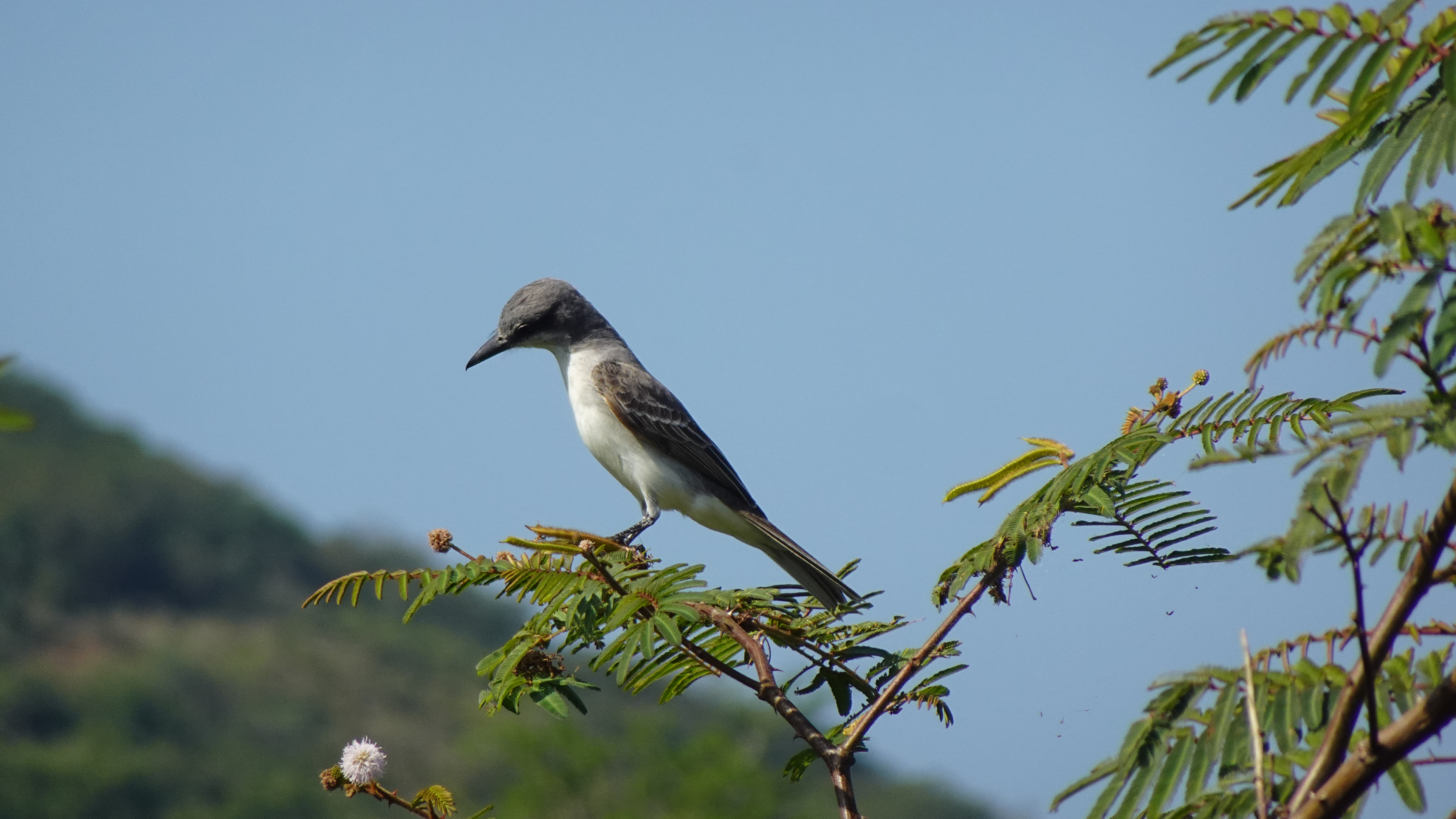
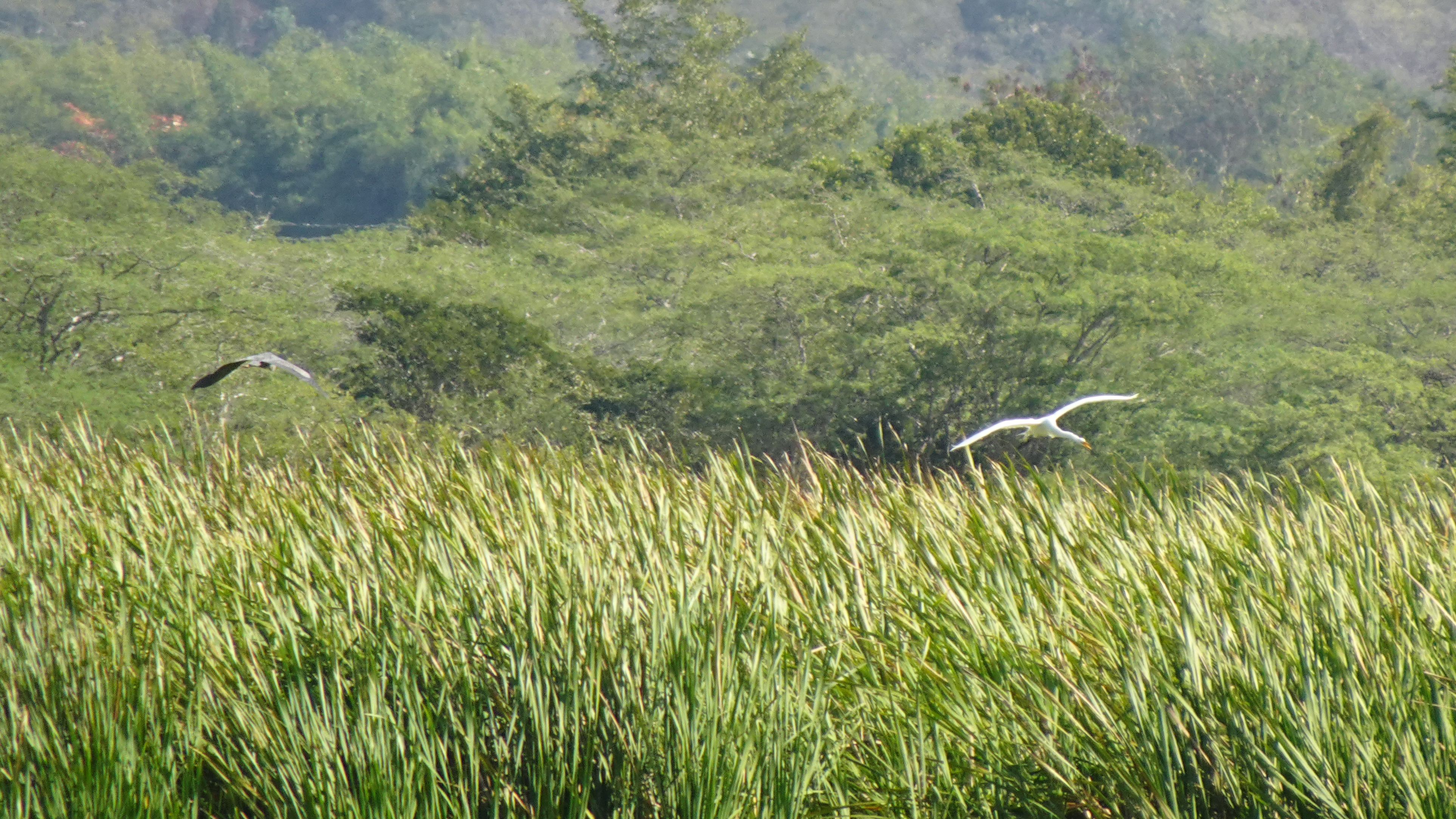
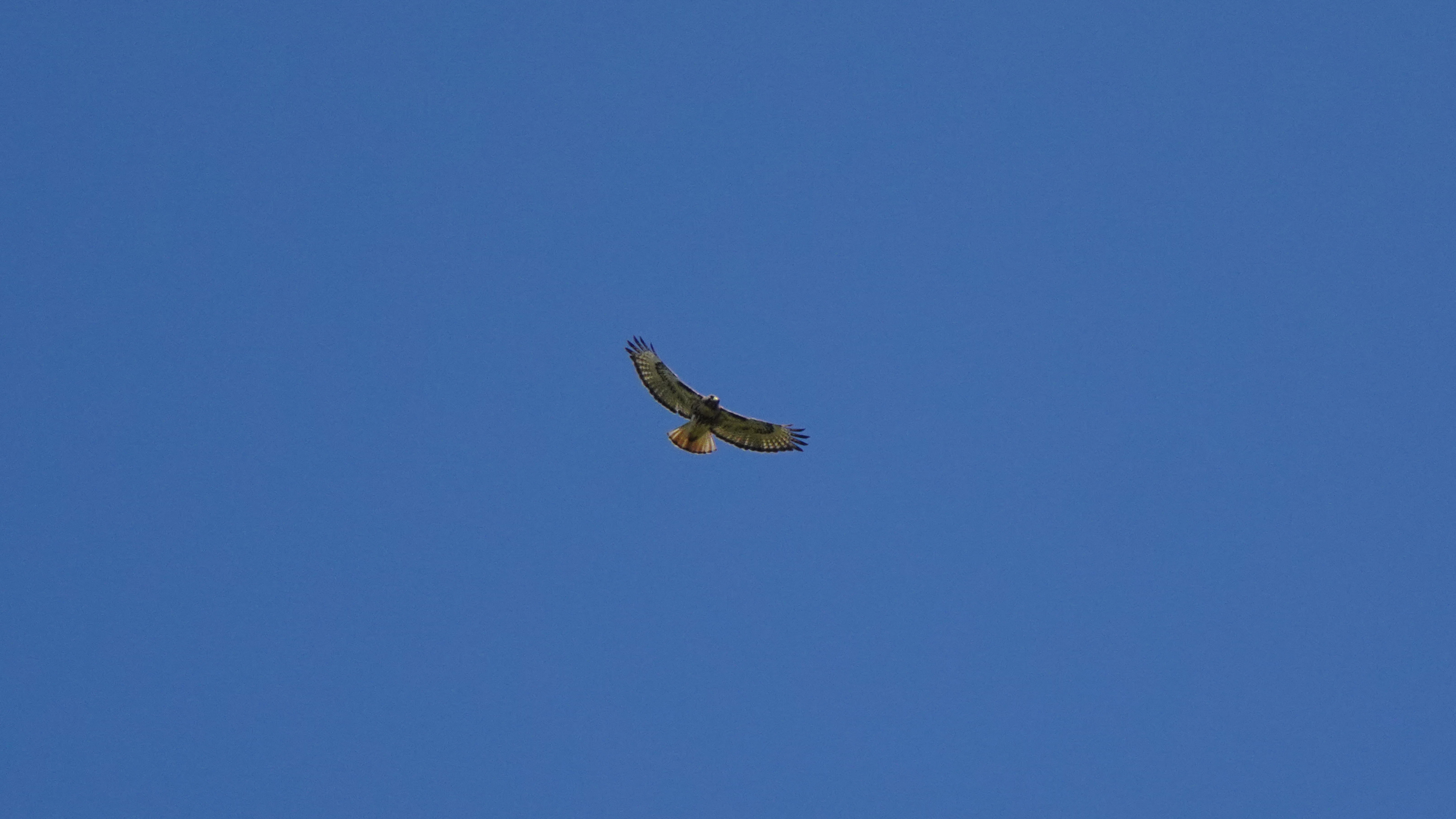
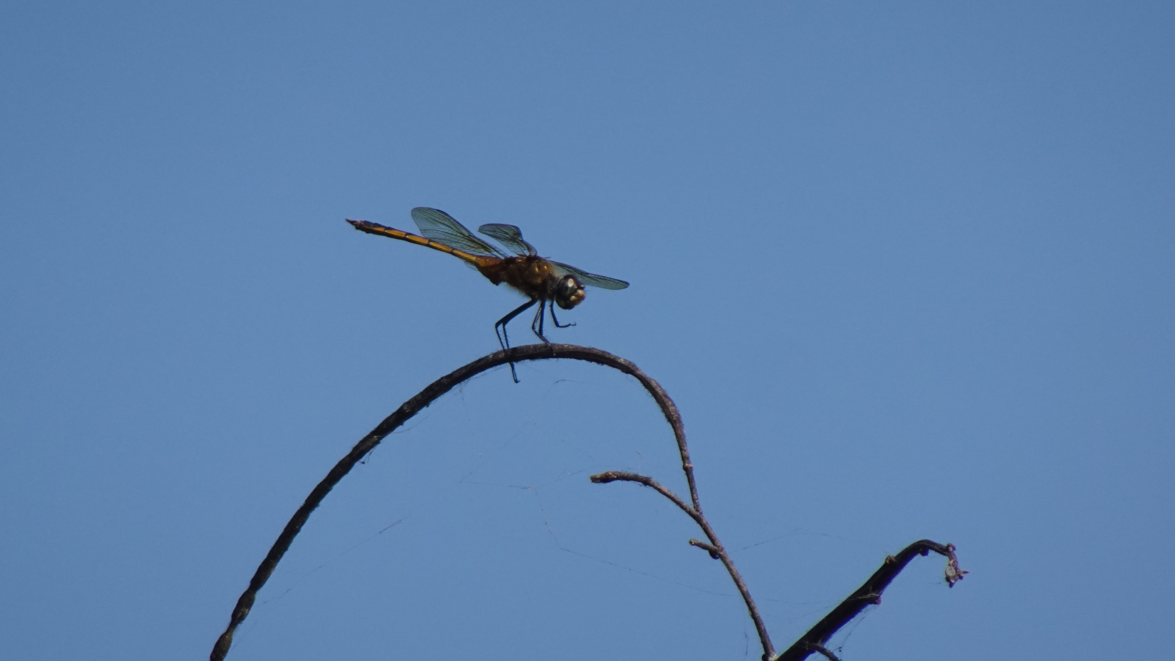
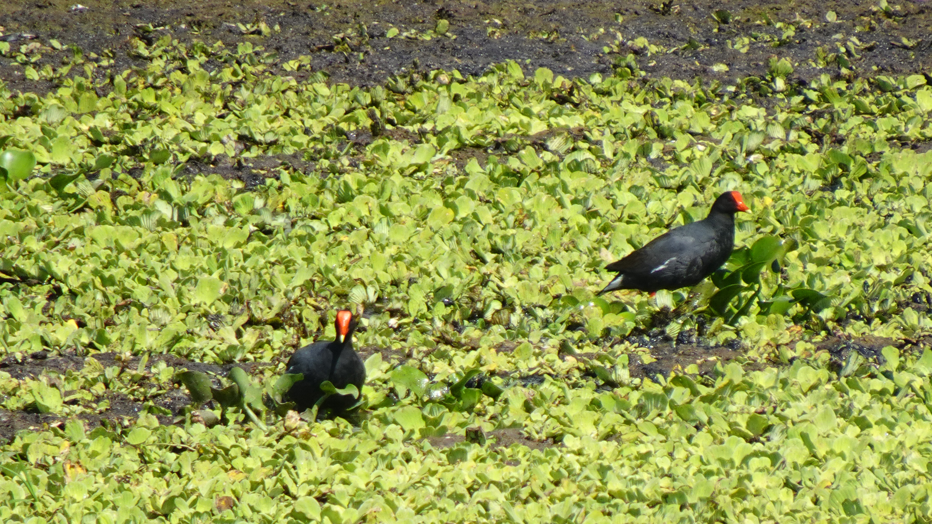
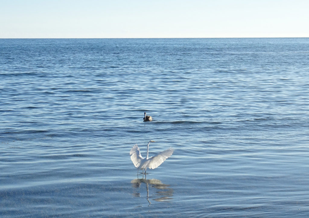
Almost half the birds recorded in Puerto Rico have been observed in the lagoon and its nearby hills. Visitors have a good chance of seeing a Magnificent Frigatebird, several species of herons, smooth-billed ani, the common moorhen, and occasionally the yellow-shouldered blackbird. I even saw white egrets and an osprey.

So if you’re anywhere near the southwest coast of the island, you should put on your hiking shoes, grab a pair of binoculars, a bottle of water, and a good camera, and spend a morning watching the avian activity and enjoying the birdsongs.

The trails are closed during nesting season – early March to late August – so time your visit well.

Enjoy Photos!
Info:

Fish & Wildlife
Birdfinding.org (Laguna info)
Birdfinding.org (Caribbean bird index)
MAP

Mini-Tour: Combate Beach Walk

There is so much to do at Combate (pronounced Come-BAH-tay) Beach in Cabo Rojo, Puerto Rico! Beto prefers to relax in his Tommy Bahama beach chair with its cooler and cupholder for his frozen Pitorro rum drink, doom-scrolling on his smartphone or reading a book on military history while watching the pelicans fish in the Caribbean Sea and la Policía zip around in their black speedboat chasing nautical scofflaws.

But Lisa likes to explore, walking down the beach looking for shells and sea glass, or hiking or running in Boquerón State Forest, at the edge of a lagoon that attracts a lot of birds, including unique migratory birds. The hiking/biking trail that meanders through the dry forest by the lagoon stretches 7 miles south to the Salt Flats.

Join her for a walk!

(Watch our original Combate Beach video)

INFO

Combate Beach
Boquerón State Forest Hiking Trail
Map

Is Combate the Most Beautiful Beach in Puerto Rico?

We almost hesitate to share this video because we love El Combate Beach (pronounced Come-BAH-tay) so much. It is one of the most beautiful beaches in Puerto Rico, with golden sand, calm turquoise water that creates perfect swimming conditions, and lots of shade trees. Pelicans dive for fish and rays occasionally jump out of the water. Combate’s location at the edge of Boquerón State Forest means we also get to enjoy a nearby lagoon that attracts a lot of birds, including unique migratory birds. The hiking/biking trail that meanders through the dry forest by the lagoon stretches 7 miles south to the Salt Flats.

The nearby village of Combate has our favorite waterfront restaurant, Annie’s, where you can sip a drink, nibble queso frito or red snapper, and enjoy the best sunsets in Puerto Rico.  It’s very quiet on weekdays but can become quite lively on weekends. But the faryher away from town you walk, the quieter it gets.

The biggest drawback to Combate is parking, or the lack thereof. There’s no lot and a long woodland path to get there. ! (We usually park on the street near Combate Beach Resort, and then walk in via the woodland path along the lagoon.) But it’s worth the effort!  

There are also no facilities, either bathroom or changing, so you might pay Annie’s a visit just to use the restroom. There are other places in Combate to get pina coladas as well.

Info
Map 

Salt Flats Interpretive Center of Cabo Rojo

We got a private tour of the Salt Flats and Wildlife Refuge on the southwestern tip of Puerto Rico. Our neighbors Padro and Dafne, who are among the volunteers who operate the facility’s interpretive center, took us on a private hike through the dry forest, and to the top of the Lookout Tour, where we learned about the salt industry. They shared Puerto Rican history regarding the salt flats and cotton, and told us about the ravages of Hurricane Fiona last year on the Salt Flats.

This is also a popular place to come birding and hiking. However, make sure you leave by 3 PM, when they lock the gate! Guided tours are free but must be arranged in advance.

The Educational Environmental Center (CAE) offers a space for educational activities and information about flora and fauna. But it depends on donations to operate. Don’t forget to make one after your tour!

Info
Info (in English) 
Map 

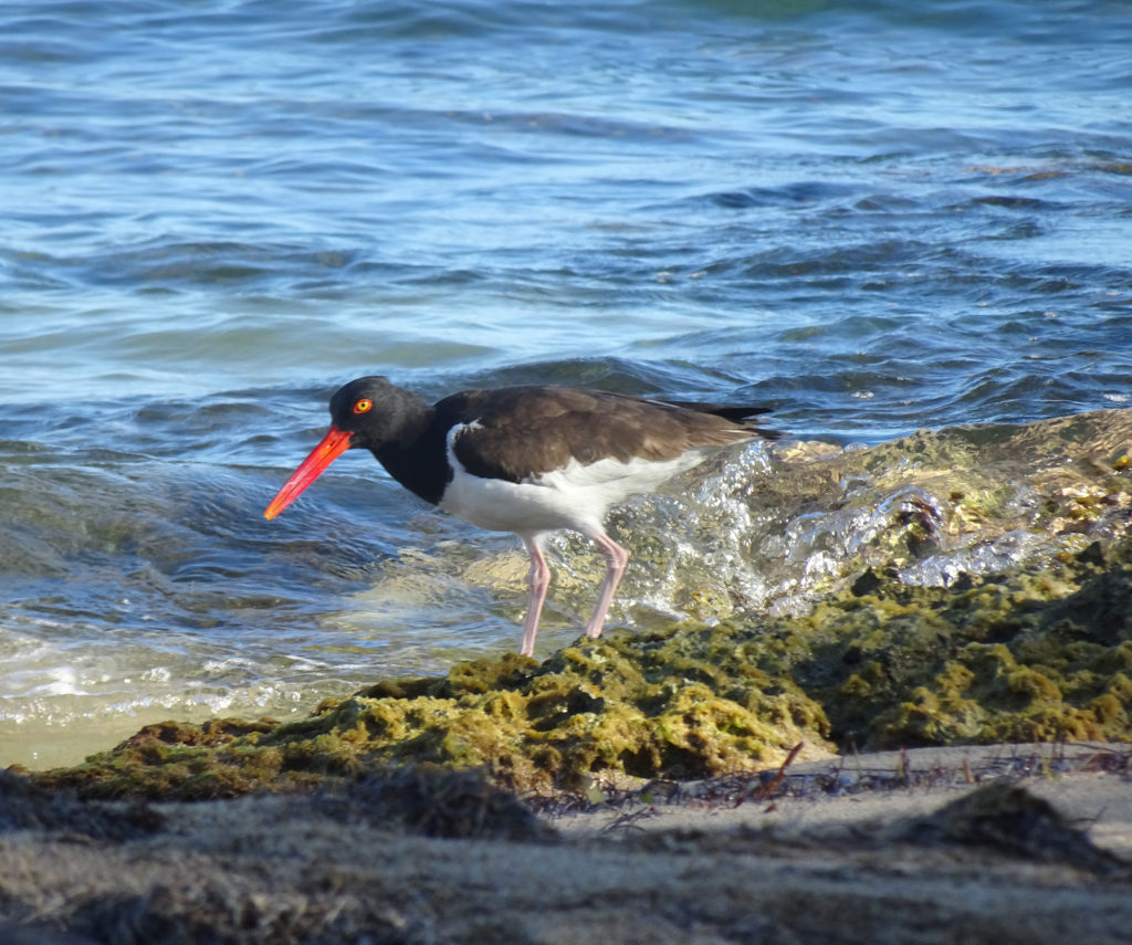
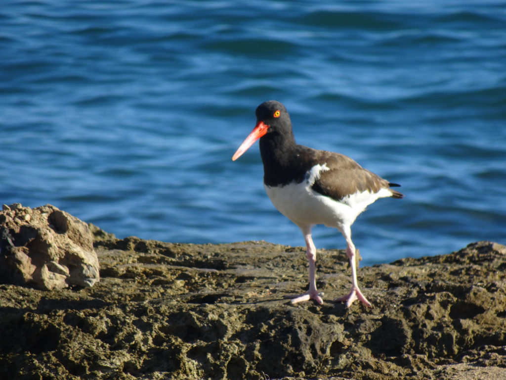
Guanica Dry Forest: Cacti, Cliffs and Red-Billed Oystercatchers

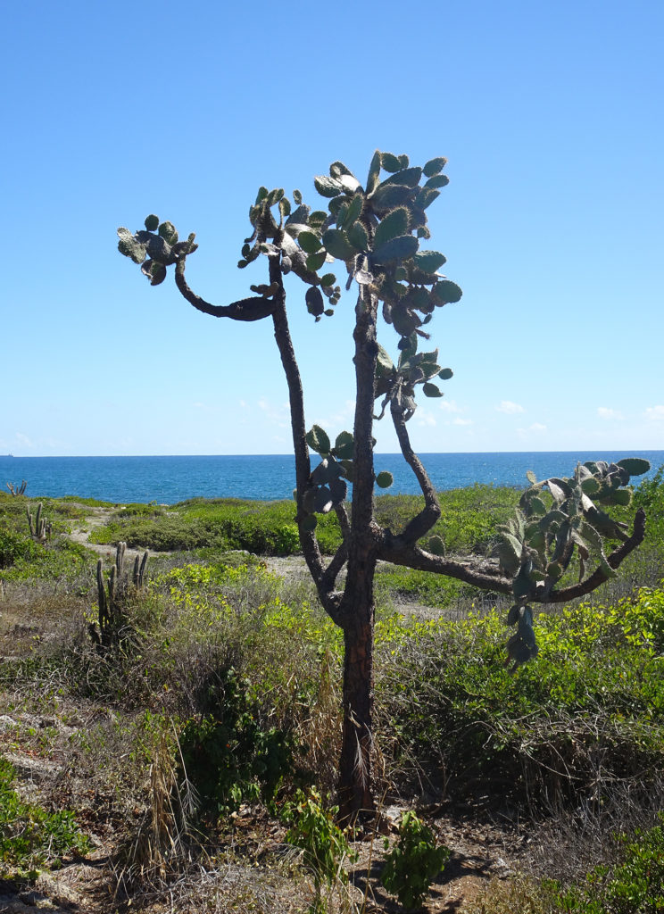
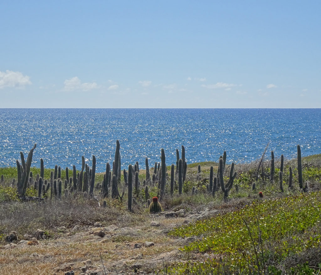
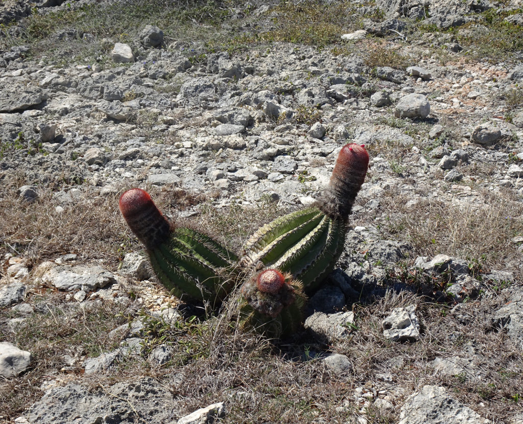
Who would expect to see so many kinds of cacti on a tropical island? We were intrigued to view the turquoise waters of the Caribbean Sea from a desert trail in Guánica State Forest, on the southwest end of Puerto Rico.

A United Nations International Biosphere Reserve, the Guánica State Forest, also known as Guánica dry Fores , is one of the most extensive tropical dry coastal forests in the world, totaling around 9,000 acres. It’s a paradise for birdwatchers, and we saw many. Read all about it.

Enjoy Bob’s video of our 3.7-mile hike along the rocky coast and through the desert.

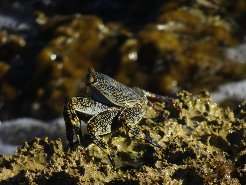
Our day spent hiking and beaching also presented us with captivating flora and fauna! Lisa took a few pictures of her favorites, especially the red-billed oystercatchers. She guessed the name after watching them in action!

Social media & sharing icons powered by UltimatelySocial
Facebook
Instagram
YouTube
YouTube
Set Youtube Channel ID
Pinterest